Langanes
A long finger of land ending in a gannet cliff, with an abandoned village and shipwreck stories along the way.
Updated 21 October 2026
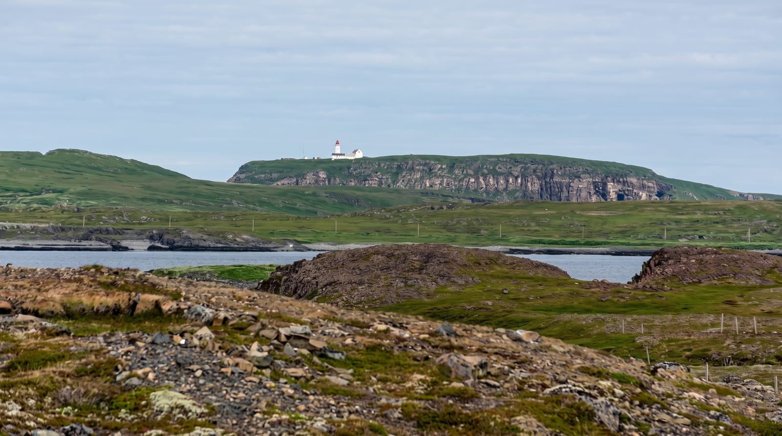
Langanes runs north-east for around forty kilometres into the sea, narrow and flat-topped, ending at the cliff of Stori Karl where gannets nest in thousands on a stack below a viewing platform built out over the drop. Partway along are the ruins of Skalar, a fishing village that had over a hundred residents early in the twentieth century and was abandoned by 1946 as the boats got bigger and the harbour stayed small. The coast here wrecked many ships; a rescue hut and memorials mark some of them. The road is gravel and gets worse the further out you go, and there is nothing on the peninsula in the way of services.
What's there
- A gannet colony at Stori Karl - watched from a platform over the cliff.
- The ruins of Skalar - a village of over a hundred people, abandoned by 1946.
- Wreck memorials - the marks left by a dangerous coast.
- Forty kilometres of gravel - the road degrading as it goes out.
When to go
June to August, while the gannets are on the stack. A full day.
Before you go
The outer road is rough enough that many hire cars should not attempt it, and there is no help out there. Fog rolls in and hides the cliff. The viewing platform is exposed and unnerving in wind. No fuel, food or facilities past Thorshofn.
Nearby
Raudanes is west; Thorshofn is at the base of the peninsula.
Key facts
Source: Wikidata, item Q116969, read on 18 October 2026.
What to pack for Langanes
Chosen from what this place is for. Tap a kit for the full checklist.
- Broken-in walking shoes or boots - Grip and ankle support matter more than looks; never hike in brand-new boots. Find on Amazon
- Travel rod + reel - A packable multi-piece rod fits in a case and covers most holiday fishing. Find on Amazon
- Shelter suited to the place - Tent, tarp or hut booking - match it to the terrain and rules. Find on Amazon
- Layers + a waterproof shell - Mountain weather turns fast; a packable rain jacket saves the day. Find on Amazon
Some links on this page are Amazon affiliate links - if you buy through them we may earn a small commission at no extra cost to you.
All packing kitsPlan your trip
Where to start if Langanes is going on the list.
Booking links on this page are affiliate links - if you book through them we may earn a small commission at no extra cost to you. It never changes what we write about a place.
Opening times, ticket prices and seasonal closures change - check the official source before you go: official site.