Breidafjordur
A bay of countless islands and huge tides, protected since 1995 and counted in the thousands.
Updated 30 August 2026
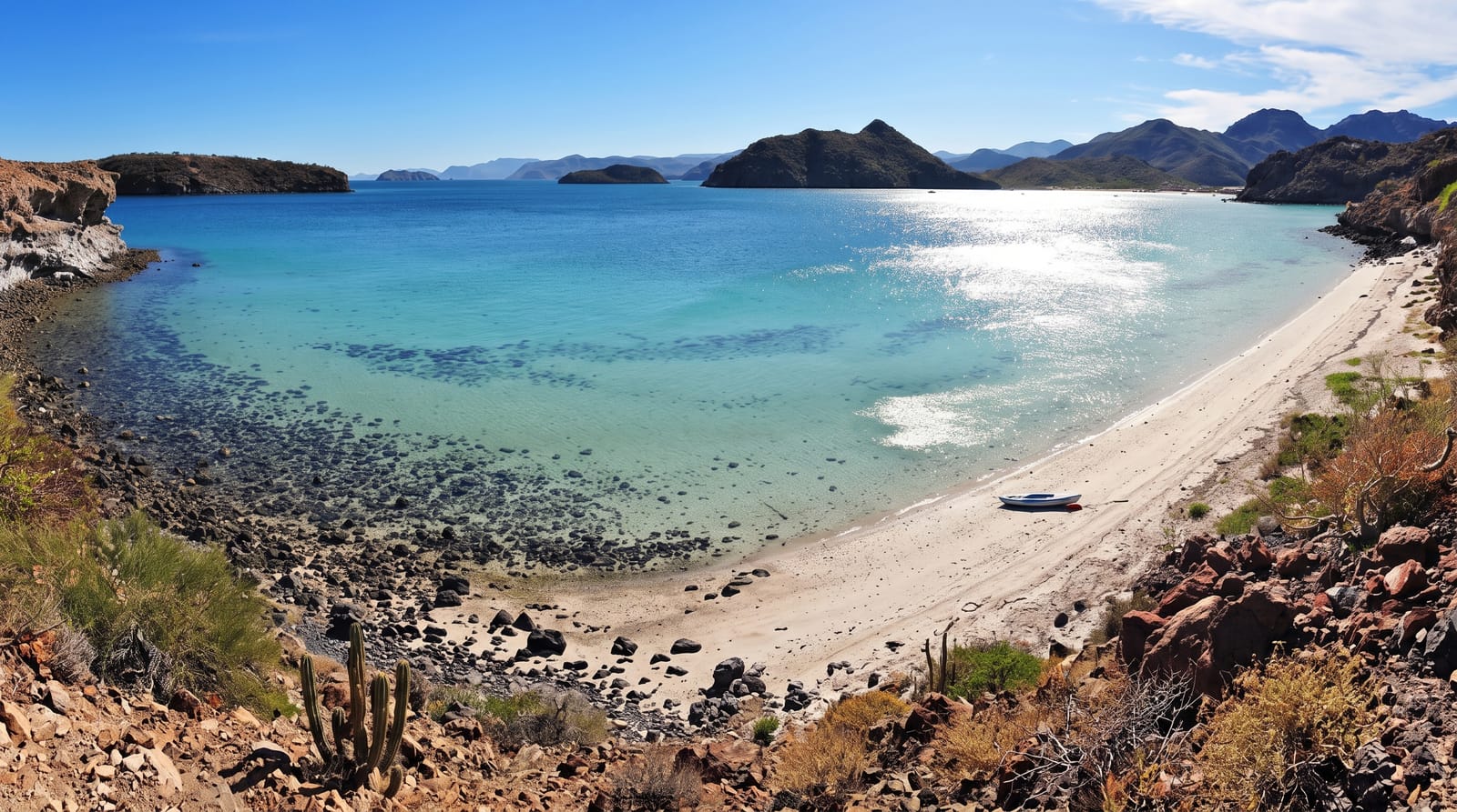
Breidafjordur is the wide bay between Snaefellsnes and the Westfjords, and the thing everyone repeats about it is that its islands are uncountable - the working figure is around 2,700 skerries and islets, but the number depends where you draw the line between an island and a rock, and the tide moves that line twice a day. The tidal range here is among the largest in the country, so the shape of the bay changes constantly. It was protected by law in 1995 for its birdlife, seaweed beds and geology. Flatey, the one island with a settled village, sits halfway across on the ferry route.
What's there
- Islands beyond counting - about 2,700 by one working figure.
- Tides among Iceland's largest - the bay's outline changing twice a day.
- Protected since 1995 - for birds, seaweed beds and geology.
- Flatey on the crossing - the only island with a village.
When to go
May to September for ferries, boats and birds. A full day.
Practical notes
Seeing the islands properly means a boat, and trips depend on weather. The ferry runs a reduced winter schedule. Landing anywhere other than Flatey needs arrangement, as most islands are privately owned. Eider colonies must not be disturbed.
Nearby
Stykkisholmur is the main port; Flatey is out in the bay.
Key facts
Source: Wikidata, item Q682905, read on 18 October 2026.
What to pack for Breidafjordur
Chosen from what this place is for. Tap a kit for the full checklist.
- Broken-in walking shoes or boots - Grip and ankle support matter more than looks; never hike in brand-new boots. Find on Amazon
- Binoculars - The single best wildlife tool - even a compact pair transforms a sighting. Find on Amazon
- Layers + a waterproof shell - Mountain weather turns fast; a packable rain jacket saves the day. Find on Amazon
- A zoom camera or long lens - Animals rarely come close; reach beats megapixels. Find on Amazon
Some links on this page are Amazon affiliate links - if you buy through them we may earn a small commission at no extra cost to you.
All packing kitsPlan your trip
Where to start if Breidafjordur is going on the list.
Booking links on this page are affiliate links - if you book through them we may earn a small commission at no extra cost to you. It never changes what we write about a place.
Opening times, ticket prices and seasonal closures change - check the official source before you go: official site.