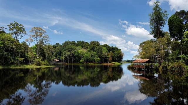
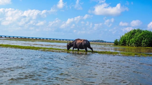
Tai Lam Chung Reservoir
A reservoir whose drowned hilltops emerge as dozens of small islands when water is low.
Updated 19 October 2026
Tai Lam Chung was completed in the 1950s in a valley of low hills, and because the ground it flooded was uneven, dropping water levels leave a scatter of wooded knolls standing above the surface as small islands, which is why it is known locally as the thousand island lake. The effect is strongest late in the dry season and vanishes when the reservoir is full. Viewpoints on the surrounding trails look down over the water, reached on walks of an hour or more from several country park entrances, and the wider Tai Lam country park carries a large network of paths including a section of the MacLehose Trail and a long stretch of restored woodland.
History
Construction began in 1952 and was completed in 1957, with a main dam across the Tai Lam Chung valley and three smaller dams across a neighbouring valley. Several villages were flooded, among them Tai Lam Village, Tai Wai, Kan Uk Tei and Wu Uk, and their remains still show when the water is low; from the late 1960s water from the Dongjiang in China was piped into the reservoir (Wikipedia, Tai Lam Chung Reservoir).
What's there
- Islands emerging at low water - drowned hilltops above the surface.
- Viewpoints over the reservoir - trail overlooks on the surrounding ridges.
- Restored woodland - decades of replanting across the country park.
- The MacLehose Trail section - the long-distance route passing through.
When to go
November to March, when levels are lowest and the islands show; after a wet summer the effect disappears entirely. Half a day. Weekend crowds are moderate.
Practical notes
The islands only appear at low water and many visitors arrive to find a plain full reservoir. The walk in from the road takes an hour or more each way with little shade. Swimming and boating are prohibited.
Nearby
Tuen Mun is west; Tsuen Wan lies east.
Key facts
Source: Wikidata, item Q7675775, read on 18 October 2026.
What to pack for Tai Lam Chung Reservoir
Chosen from what this place is for. Tap a kit for the full checklist.
- Broken-in walking shoes or boots - Grip and ankle support matter more than looks; never hike in brand-new boots. Find on Amazon
- Reef-safe sunscreen - High SPF that will not bleach the coral you are swimming over. Find on Amazon
- Layers + a waterproof shell - Mountain weather turns fast; a packable rain jacket saves the day. Find on Amazon
- Quick-dry towel - A microfibre towel packs small and dries in minutes. Find on Amazon
Some links on this page are Amazon affiliate links - if you buy through them we may earn a small commission at no extra cost to you.
All packing kitsPlan your trip
Where to start if Tai Lam Chung Reservoir is going on the list.
Booking links on this page are affiliate links - if you book through them we may earn a small commission at no extra cost to you. It never changes what we write about a place.
Opening times, ticket prices and seasonal closures change - check the official source before you go: official site.