Montana de Comayagua National Park
Cloud forest above the Comayagua valley, with waterfalls on the escarpment and the water supply for the city below.
Saved in this browser only - no account, nothing sent anywhere. See your map
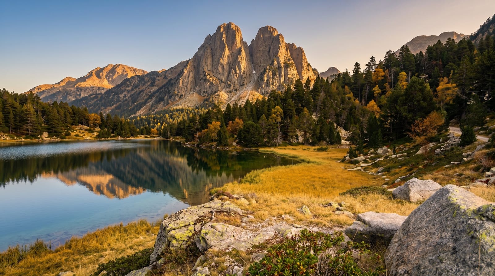
The Montaña de Comayagua rises on the eastern side of the Comayagua valley and catches enough moisture to hold cloud forest above around fifteen hundred metres, over pine and oak lower down. The escarpment is cut by streams that drop off it in a series of falls, and those streams supply Comayagua city. Trails run up from the villages on the western side, and the forest is quiet enough that mammals are seen more often than in the parks closer to the highways.
What you actually see
- The cloud forest - wet montane forest above the pine belt on the escarpment.
- The waterfalls - streams dropping off the western edge in several stages.
- The pine and oak zone - the drier forest on the approach slopes.
- The valley view - Comayagua and its valley from the western ridge.
When to go
November to April is the drier season for the trails. Rain is possible year-round in the upper forest. Mornings are best before cloud fills the escarpment.
Honest expectations
Access roads to both entrances are rough and need a high-clearance vehicle. Trails are unmarked in places and a guide from the villages is the sensible arrangement. There are no facilities inside the park.
Nearby
Comayagua city is in the valley below, and Taulabe caves are north towards Lake Yojoa.
What to pack for Montana de Comayagua National Park
Chosen from what this place is for. Tap a kit for the full checklist.
Opening times, ticket prices and seasonal closures change - check the official source before you go: official site.