Tortuga Island
An island off the northwest coast that was the buccaneers' base in the seventeenth century, now quiet fishing and farming country.
Updated 19 October 2026
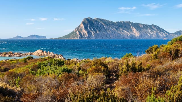
Île de la Tortue lies off the northwest coast, about forty kilometres long and shaped, from the sea, like the turtle it is named after. In the seventeenth century it was the base from which buccaneers worked the Caribbean, and the fortifications above Basse-Terre date from that period. What is there now is a rural island of fishing villages, farming and beaches on the northern side, reached by open boat from Port-de-Paix and visited by very few people.
History
Columbus sighted the island on 6 December 1492 and named it Tortuga because its shape reminded him of a turtle's shell. French and English colonists from Saint Kitts arrived in 1625, the Spanish drove them out in 1629 and again several times after, and from 1630 buccaneers used the island as their main base, calling themselves by 1641 the Brethren of the Coast; the Spanish attacked for the last time in 1654, and in 1664 the French buccaneer Jeremie Dechamps sold the island to the French West India Company for 15,000 livres (Wikipedia, Tortuga).
The landscape
- The fort remains - seventeenth-century fortification above the harbour at Basse-Terre.
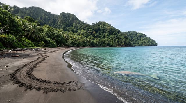
- The northern beaches - long empty sand on the seaward side of the island.
- The villages - fishing and farming settlements along the southern shore.
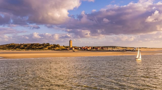
- The crossing - an open-boat passage from Port-de-Paix with the island ahead of you.
When to go
November to March has the calmest crossing and the driest weather. The channel gets rough in wind and boats do not run in bad conditions. Hurricane season runs from June to November.
Practical notes
The crossing is in open fishing boats without safety equipment, and it is weather-dependent. Accommodation on the island is very basic and needs arranging in advance. Roads on Tortuga are tracks and getting to the north coast takes a long time.
Nearby
Port-de-Paix is the mainland port, and Mole Saint-Nicolas is west along the coast.
Key facts
Source: Wikidata, item Q208345, read on 18 October 2026.
What to pack for Tortuga Island
Chosen from what this place is for. Tap a kit for the full checklist.
- Travel rod + reel - A packable multi-piece rod fits in a case and covers most holiday fishing. Find on Amazon
- Reef-safe sunscreen - High SPF that will not bleach the coral you are swimming over. Find on Amazon
- Binoculars - The single best wildlife tool - even a compact pair transforms a sighting. Find on Amazon
- A small tackle selection - Hooks, weights, line and a few lures or flies suited to local waters. Find on Amazon
Some links on this page are Amazon affiliate links - if you buy through them we may earn a small commission at no extra cost to you.
All packing kitsPlan your trip
Where to start if Tortuga Island is going on the list.
Booking links on this page are affiliate links - if you book through them we may earn a small commission at no extra cost to you. It never changes what we write about a place.
Opening times, ticket prices and seasonal closures change - check the official source before you go: official site.