Pic Macaya National Park
Cloud forest on the Massif de la Hotte, holding one of the highest concentrations of endemic amphibians measured anywhere.
Updated 1 September 2026
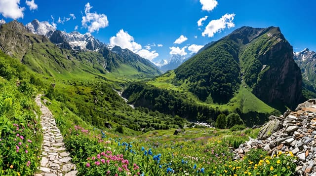
The Massif de la Hotte in the southwest holds the last substantial block of cloud forest in Haiti, and Pic Macaya at around 2,347 metres is its high point. What makes the massif matter beyond the country is its amphibians: the mountain range carries one of the densest concentrations of endemic frog species recorded anywhere on earth, many of them found on this massif and nowhere else, several described only in the last few decades. The forest itself has been cut back hard at the edges, and what survives is the interior.
What's there
- The cloud forest - wet montane forest on the upper slopes, mossy and often inside cloud.
- The pine zone - Hispaniolan pine on the drier ridges below the summit.
- The endemic frogs - Eleutherodactylus species found on this massif alone, heard far more than seen.
- The summit ridge - Pic Macaya at around 2,347 metres, the second highest point in the country.
When to go
December to March is the drier window and the practical season for walking. The upper forest sits in cloud a great deal of the time in any month, which is what keeps it wet. Nights on the ridge are cold.
Practical notes
There is no visitor infrastructure: no marked trails, no huts, no signage. Everything is arranged with guides from the gateway villages and involves camping. The track from Les Cayes is rough and the last stretch is walked. Deforestation has pushed hard against the park boundary and the walk in passes through cleared ground before any forest.
Nearby
Les Cayes is the gateway city, and Saut-Mathurine is on the same side of the massif.
Key facts
Source: Wikidata, item Q2540203, read on 18 October 2026.
What to pack for Pic Macaya National Park
Chosen from what this place is for. Tap a kit for the full checklist.
- Broken-in walking shoes or boots - Grip and ankle support matter more than looks; never hike in brand-new boots. Find on Amazon
- Binoculars - The single best wildlife tool - even a compact pair transforms a sighting. Find on Amazon
- Shelter suited to the place - Tent, tarp or hut booking - match it to the terrain and rules. Find on Amazon
- Layers + a waterproof shell - Mountain weather turns fast; a packable rain jacket saves the day. Find on Amazon
Some links on this page are Amazon affiliate links - if you buy through them we may earn a small commission at no extra cost to you.
All packing kitsPlan your trip
Where to start if Pic Macaya National Park is going on the list.
Booking links on this page are affiliate links - if you book through them we may earn a small commission at no extra cost to you. It never changes what we write about a place.
Opening times, ticket prices and seasonal closures change - check the official source before you go: official site.