Foret des Pins
A pine reserve on the ridges towards the Dominican border, the largest surviving stand of Hispaniolan pine in the country.
Updated 1 September 2026
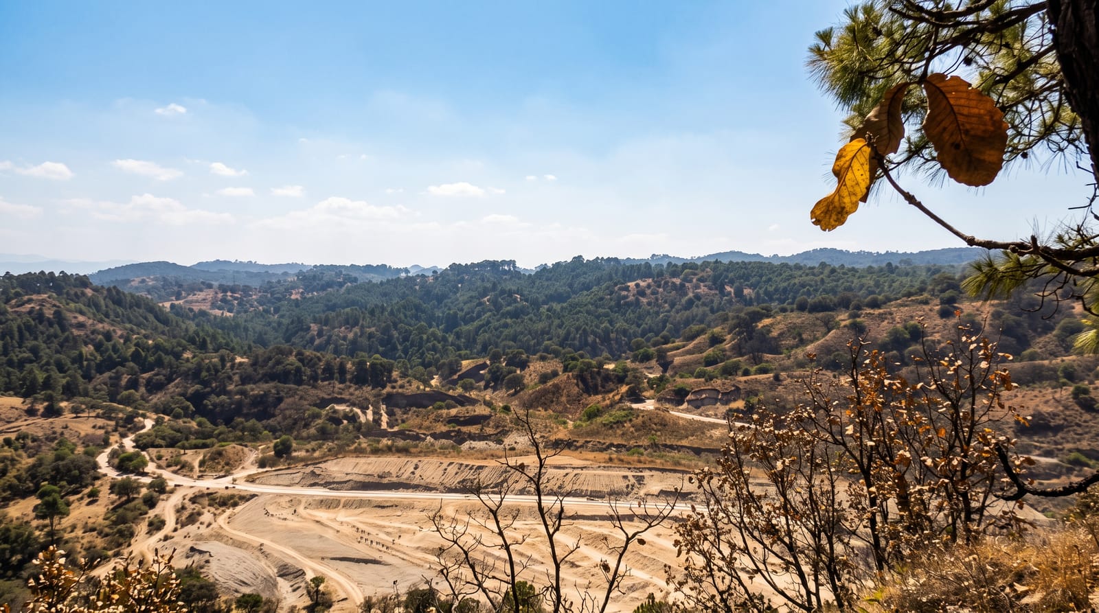
Foret des Pins covers the high ground between Fonds-Verrettes and the border, and it is what most of Haiti's mountains looked like before the charcoal trade: open stands of Hispaniolan pine over grass and needle litter, cool, dry-smelling and quiet. It is a forest reserve rather than a national park, managed loosely, and the pressure on it is constant. Walking here is easy compared with the cloud forest, and the altitude keeps the temperature down through the day.
What you'll find
- The pine stands - mature Hispaniolan pine over open ground, the largest surviving block.
- The ridge tracks - forest roads and paths, walkable without a machete.
- The altitude climate - cool days and cold nights, unlike anywhere in the Haitian lowlands.
- The cut edges - the working boundary where charcoal burning meets the reserve.
When to go
November to March is dry and cool. The wet months turn the access roads to mud. Mornings are clearest, and the pine plateau catches cloud in the afternoon.
Before you go
It is a working landscape under pressure, not a protected wilderness, and the cut edges are part of what you see. There are no facilities, no marked trails and no water supply. Getting there needs a proper vehicle and someone who knows the tracks.
Nearby
Fonds-Verrettes is the gateway town, and Pic la Selle rises to the southwest.
What to pack for Foret des Pins
Chosen from what this place is for. Tap a kit for the full checklist.
- Broken-in walking shoes or boots - Grip and ankle support matter more than looks; never hike in brand-new boots. Find on Amazon
- Layers + a waterproof shell - Mountain weather turns fast; a packable rain jacket saves the day. Find on Amazon
- Daypack with rain cover - 20-30 litres holds water, snacks, layers and a first-aid kit. Find on Amazon
- Offline maps + a power bank - Download the trail before you lose signal; carry backup charge. Find on Amazon
Some links on this page are Amazon affiliate links - if you buy through them we may earn a small commission at no extra cost to you.
All packing kitsPlan your trip
Where to start if Foret des Pins is going on the list.
Booking links on this page are affiliate links - if you book through them we may earn a small commission at no extra cost to you. It never changes what we write about a place.
Opening times, ticket prices and seasonal closures change - check the official source before you go: official site.