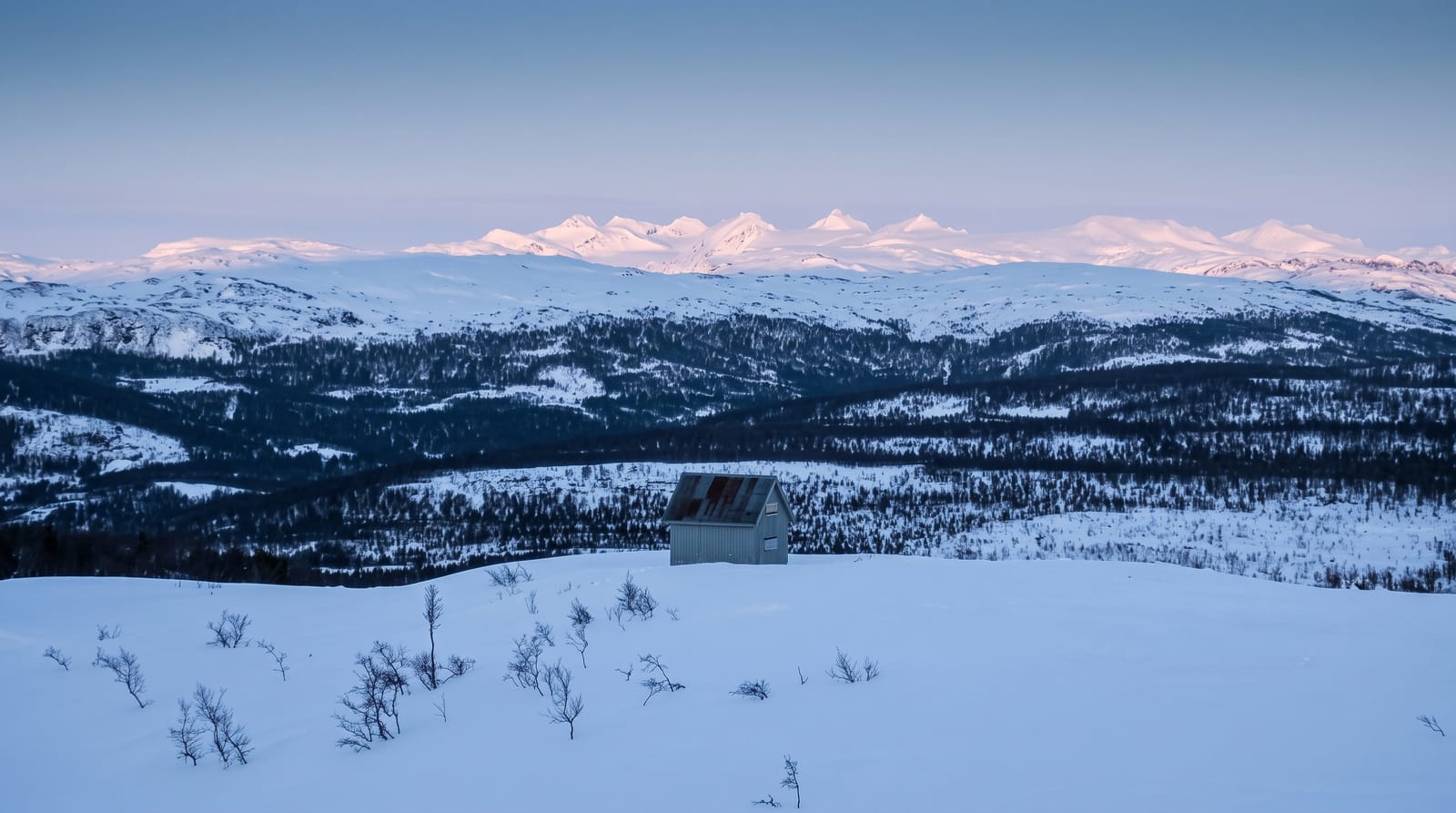
Pakaraima Mountains
A highland range of tepuis, savannah and forest across western Guyana, with Amerindian villages scattered through it.
Updated 2 September 2026
The Pakaraimas run across western Guyana into Venezuela and Brazil, a highland of sandstone tepuis, open savannah and forested valleys between about a thousand and two thousand metres, and they hold the country's biggest waterfalls including Kaieteur. Patamona and Macushi villages are scattered through the range, most of them reached by air or on foot. A long-distance trekking route links several of them, taking about a week, and it is the main way visitors see the interior of the range.
The landscape
- The tepuis - flat-topped sandstone massifs rising above the highland.
- The Amerindian villages - Patamona and Macushi settlements through the range.
- The trekking route - a multi-day walk linking villages across the highland.
- The waterfalls - the range's rivers dropping off the escarpment edges.
When to go
September to April is drier and better for trekking. The wet season from May to August makes the trails heavy and the rivers high. Nights in the highland are cool.
What to expect
Access is by charter flight or a very rough overland route, and both are expensive and weather-dependent. Village permissions must be arranged in advance and cannot be assumed. There is no infrastructure beyond what the villages provide.
Nearby
Kaieteur Falls is on the range's eastern edge, and Orinduik is west.
Key facts
Source: Wikidata, item Q1530786, read on 18 October 2026.
What to pack for Pakaraima Mountains
Chosen from what this place is for. Tap a kit for the full checklist.
- Broken-in walking shoes or boots - Grip and ankle support matter more than looks; never hike in brand-new boots. Find on Amazon
- Layers for big temperature swings - Warm sun by day, near-freezing at night, even near the equator. Find on Amazon
- Layers + a waterproof shell - Mountain weather turns fast; a packable rain jacket saves the day. Find on Amazon
- Extra-strong sun protection - Thin air means fierce UV; hat, sunglasses and high-SPF sunscreen. Find on Amazon
Some links on this page are Amazon affiliate links - if you buy through them we may earn a small commission at no extra cost to you.
All packing kitsPlan your trip
Where to start if Pakaraima Mountains is going on the list.
Booking links on this page are affiliate links - if you book through them we may earn a small commission at no extra cost to you. It never changes what we write about a place.
Opening times, ticket prices and seasonal closures change - check the official source before you go: official site.