Fort Nuestra Señora de la Soledad
A Spanish fort on a headland above Umatac Bay, where the galleons anchored.
Updated 16 October 2026
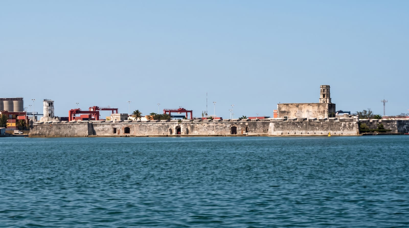
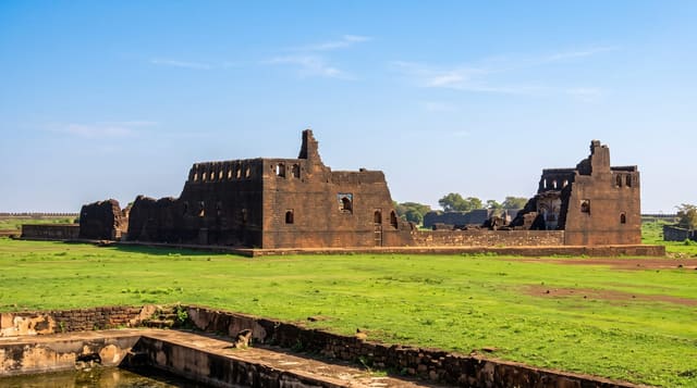
Fort Soledad stands on a headland above Umatac Bay in southern Guam, built by the Spanish around 1810, the last of the forts raised to guard the anchorage where the Manila galleons stopped for water and supplies on the run between Acapulco and the Philippines. The gun platform and part of the walls survive. From the point the bay, the village and the southern coast are laid out below. Two other Spanish forts once stood around the same bay, Fort San Jose and Fort Santo Angel, and fragments of both survive nearby. The galleon route ran for two hundred and fifty years and Umatac was one of its few reliable stops.
Background
The fort stands near Umatac and was built by the Spanish, probably between 1802 and 1819, as the fourth of four defences guarding the anchorage used by galleons sailing between Acapulco and the Philippines. That route fell out of use in 1815. Treasure hunters later damaged the fort, it was eventually turned into a park, and it has been on the National Register of Historic Places since October 18, 1974, with a listed area of 8 acres.
Source: Wikipedia, "Fort Nuestra Señora de la Soledad"
The main sights
- The gun platform - the position covering the galleon anchorage.
- The bay view - Umatac and the southern coast from the headland.
- The galleon anchorage - the bay the fort was built to protect.
- The surviving walls - the sections still standing on the point.
When to go
December to June is the drier season. Late afternoon light over the bay is best. Typhoon season runs July to November.
Before you go
The fort is partly reconstructed and small. Interpretation is limited to signs. Parking at the top is very limited.
Nearby
Umatac is below, and Sella Bay is north.
Key facts
Source: Wikidata, item Q15218129, read on 18 October 2026.
What to pack for Fort Nuestra Señora de la Soledad
Chosen from what this place is for. Tap a kit for the full checklist.
- Comfortable walking shoes - Sightseeing means kilometres of pavement and cobbles daily. Find on Amazon
- A slim anti-theft daypack - Zips that close properly; keep it in front in crowds and on transit. Find on Amazon
- A refillable water bottle - Many cities have public fountains; save money and plastic. Find on Amazon
- A light layer + compact umbrella - For museum air-con and a sudden shower. Find on Amazon
Some links on this page are Amazon affiliate links - if you buy through them we may earn a small commission at no extra cost to you.
All packing kitsPlan your trip
Where to start if Fort Nuestra Señora de la Soledad is going on the list.
Booking links on this page are affiliate links - if you book through them we may earn a small commission at no extra cost to you. It never changes what we write about a place.
Opening times, ticket prices and seasonal closures change - check the official source before you go: official site.