Mount Parnitha National Park
The fir-forested mountain wall north of Athens, home to red deer and the city's only genuine alpine air.
Updated 12 October 2026
AI illustration
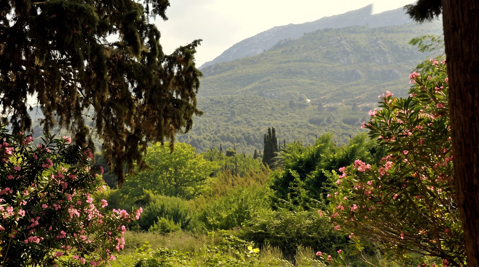
Parnitha reaches 1,413 metres at Karavola, the highest point in Attica, and was declared a national park in 1961, the third in Greece. Above about a thousand metres the Greek fir takes over from pine, and the forest shelters the last free-ranging red deer population in Attica along with wild boar, foxes and over a hundred bird species. Trails radiate from the Agia Triada plateau to the Bafi and Flambouri refuges, both serving food and beds to walkers, and the summit ridge gives a view over the whole Athens basin to the sea. Caves, gorges and old shepherd paths lace the slopes. A serious fire in 2007 burned a large area of fir forest, and the regrowth is visible on the eastern flanks, a slow recovery still under way.
What's there
- The fir forest - Greek fir above a thousand metres, rare this far south.
- The red deer - a free-ranging herd, most often seen near the plateau at dusk.
- The mountain refuges - Bafi and Flambouri, both reachable on foot.
- The Athens panorama - the whole basin and the Saronic Gulf from the ridge.
When to go
Spring and autumn for walking; winter brings snow and the mountain becomes an Athenian day out for sledging. Summer is cooler than the city but fire risk closes trails and roads in high-danger conditions.
Good to know
The lower slopes carry heavy weekend traffic and a casino sits on the plateau, which surprises first-time visitors. Burnt areas remain conspicuous. Trails are marked unevenly and a map is worth carrying beyond the main routes.
Nearby
The Marathon reservoir lies east; Athens is under an hour away down the mountain road.
Key facts
Source: Wikidata, item Q25510750, read on 18 October 2026.
What to pack for Mount Parnitha National Park
Chosen from what this place is for. Tap a kit for the full checklist.
- Broken-in walking shoes or boots - Grip and ankle support matter more than looks; never hike in brand-new boots. Find on Amazon
- Head torch + spare batteries - Hands-free light is essential; caves are truly dark. Find on Amazon
- Binoculars - The single best wildlife tool - even a compact pair transforms a sighting. Find on Amazon
- Warm base layers - Merino or synthetic against the skin - never cotton, which chills when damp. Find on Amazon
Some links on this page are Amazon affiliate links - if you buy through them we may earn a small commission at no extra cost to you.
All packing kitsPlan your trip
Where to start if Mount Parnitha National Park is going on the list.
Booking links on this page are affiliate links - if you book through them we may earn a small commission at no extra cost to you. It never changes what we write about a place.
Opening times, ticket prices and seasonal closures change - check the official source before you go: official site.