Rhön Biosphere Reserve
Open basalt highlands called the land of open distances, where German gliding began in the 1920s.
Updated 19 October 2026
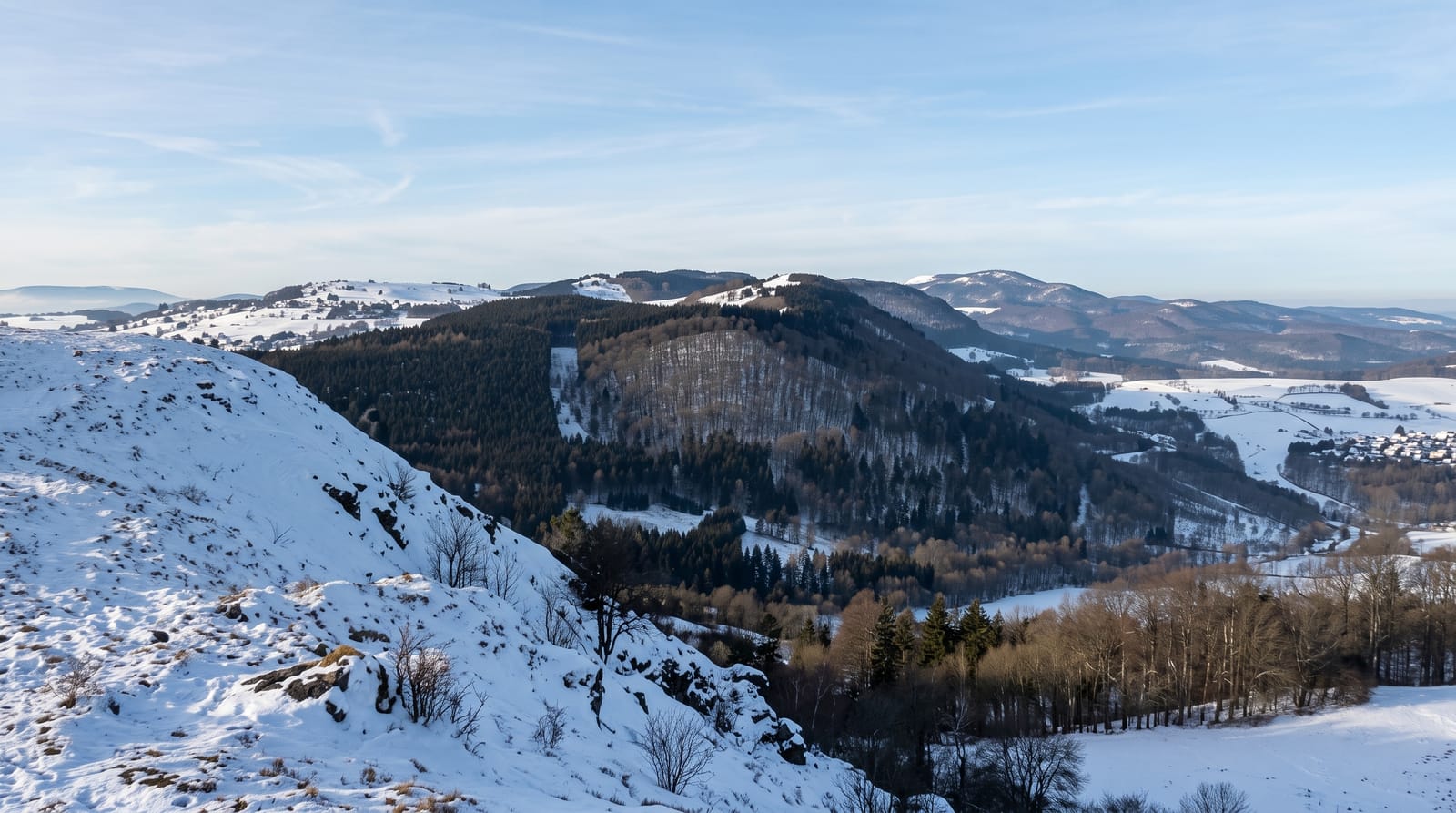
AI illustration
The Rhön is a range of eroded basalt volcanoes rising to nine hundred and fifty metres at the Wasserkuppe, and centuries of grazing kept the tops treeless, giving the open grassland that produced the nickname Land der offenen Fernen. From 1911 and especially through the 1920s, gliding pioneers used the Wasserkuppe's slopes and thermals for distance and duration records, and it is regarded as the birthplace of the sport in Germany; a museum on the summit covers that history and gliding still operates. UNESCO designated the biosphere reserve in 1991, spanning three federal states. Dark sky conditions here are protected as a star reserve.
History
On 12 September 1990 the Thuringian Rhön was declared a biosphere reserve under the national park programme of the GDR, and in the winter of 1990/91 Bavaria, Hesse and Thuringia applied together for UNESCO recognition; on 6 March 1991 UNESCO designated the three-state Rhön a biosphere reserve. Offices in the three states work together under an agreement of November 2002, a first framework plan was handed over in April 1995, and after a review in June 2014 UNESCO confirmed the status for a further 10 years, when the Bavarian part was enlarged by 58,000 hectares (Wikipedia, Rhön Biosphere Reserve).
The landscape
- The Wasserkuppe - the summit where German gliding developed.
- The open highlands - treeless basalt grassland with long views.
- The gliding museum - the sport's early history on the mountain.
- The dark skies - a protected star reserve across the highlands.
When to go
May to October for walking and gliding; winter brings snow and small ski lifts. The summit is exposed and windy in any season, which is why it suits gliding.
Good to know
The Wasserkuppe summit is developed with car parks and facilities, not wild. Weather changes fast on the open tops. Public transport is limited.
Nearby
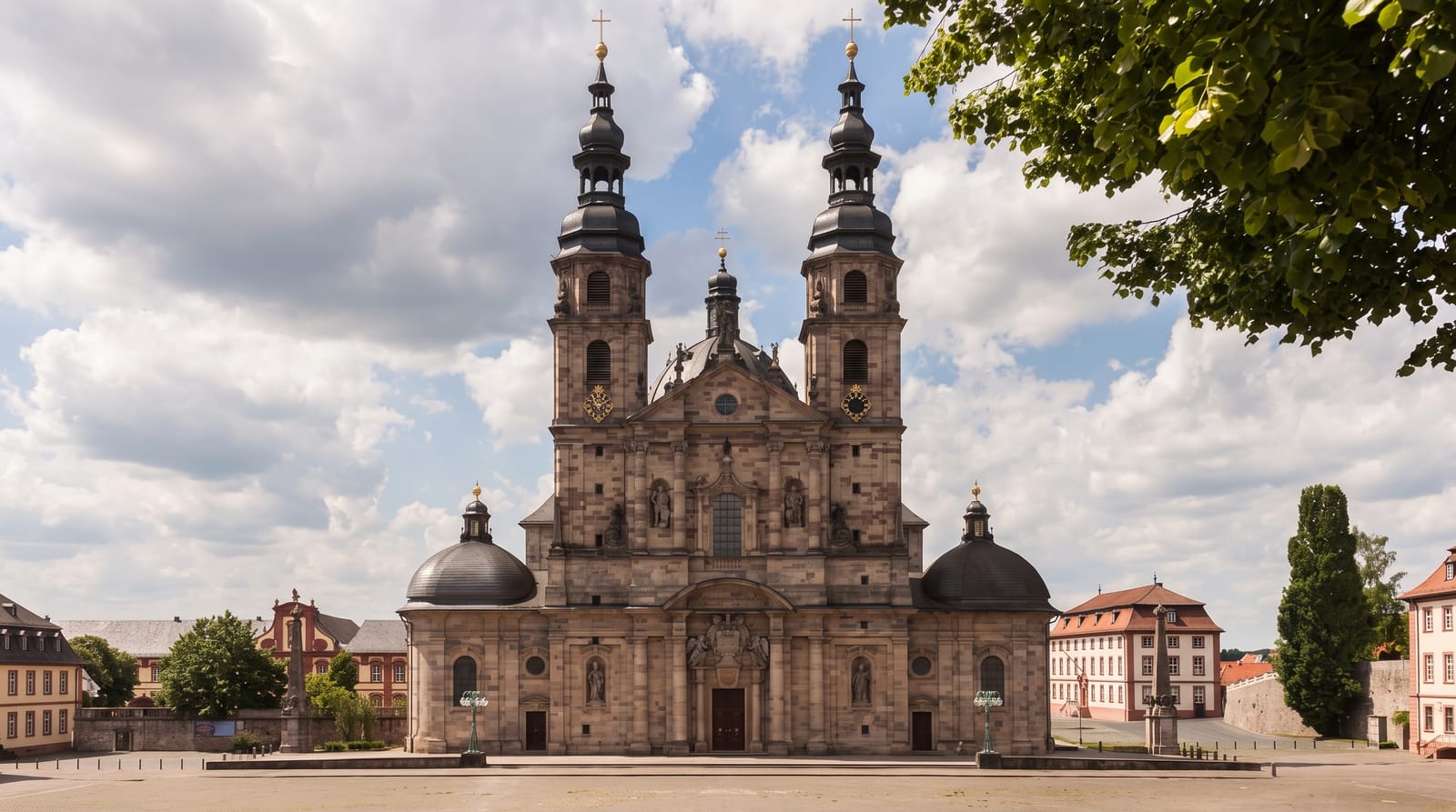
Fulda lies west; the Thuringian border runs through the reserve.
Key facts
Source: Wikidata, item Q864755, read on 18 October 2026.
What to pack for Rhön Biosphere Reserve
Chosen from what this place is for. Tap a kit for the full checklist.
- Broken-in walking shoes or boots - Grip and ankle support matter more than looks; never hike in brand-new boots. Find on Amazon
- Spare batteries + cards - Cold and long shoots drain power; never run out at the good light. Find on Amazon
- Warm base layers - Merino or synthetic against the skin - never cotton, which chills when damp. Find on Amazon
- Layers + a waterproof shell - Mountain weather turns fast; a packable rain jacket saves the day. Find on Amazon
Some links on this page are Amazon affiliate links - if you buy through them we may earn a small commission at no extra cost to you.
All packing kitsPlan your trip
Where to start if Rhön Biosphere Reserve is going on the list.
Booking links on this page are affiliate links - if you book through them we may earn a small commission at no extra cost to you. It never changes what we write about a place.
Opening times, ticket prices and seasonal closures change - check the official source before you go: official site.