Black Forest High Road
The oldest scenic road in the Black Forest, built in the 1930s along the ridge at around a thousand metres.
Updated 19 October 2026

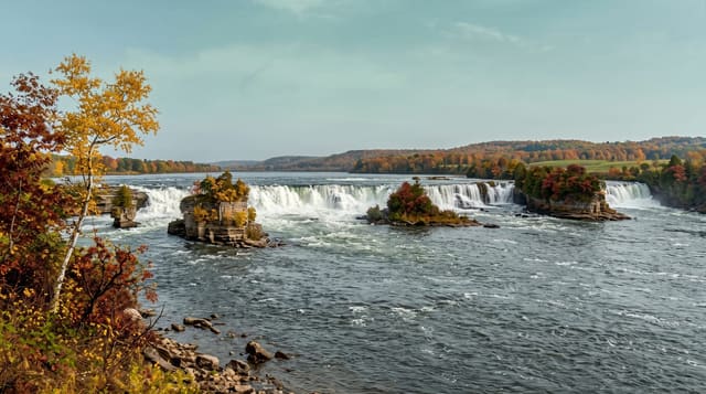
AI illustration
The Schwarzwaldhochstrasse was opened in stages from 1930 and runs about sixty kilometres from Baden-Baden south to Freudenstadt, keeping to the ridge at around eight hundred to a thousand metres with views west over the Rhine plain to the Vosges. It passes the Mummelsee, moorland, and several cirques below the ridge line, and much of the surrounding forest now lies inside the Black Forest national park, created in 2014, where deadwood is left in place and areas are allowed to develop without management. In winter the road is a snow route with cross-country tracks and small ski lifts along its length.
History
The name Schwarzwaldhochstrasse was first used in 1930, when the section between Hundseck and Untersmatt was finished and made the high Black Forest easier to reach, and the whole route from Baden-Baden to Freudenstadt was completed in 1952 (Wikipedia, Schwarzwaldhochstraße).
What you'll find
- The ridge run - sixty kilometres at around a thousand metres.
- The Rhine plain view - western outlooks toward the Vosges.
- The national park - unmanaged forest zones created in 2014.
- The winter use - snow route with cross-country tracks along the ridge.
When to go
May to October for driving and walking; winter for snow, when the road is cleared but conditions vary. Fog on the ridge is common and hides the views.
Things to know
Cloud sits on the ridge frequently, removing the views entirely. Some hotels along the route have closed. Winter needs proper tyres.
Nearby
Baden-Baden is the northern end; the Mummelsee lies on the route.
Key facts
Source: Wikidata, item Q896418, read on 18 October 2026.
What to pack for Black Forest High Road
Chosen from what this place is for. Tap a kit for the full checklist.
- Warm base layers - Merino or synthetic against the skin - never cotton, which chills when damp. Find on Amazon
- Comfortable walking shoes - Sightseeing means kilometres of pavement and cobbles daily. Find on Amazon
- An insulated + windproof jacket - A down or synthetic layer under a hard shell handles most cold. Find on Amazon
- A slim anti-theft daypack - Zips that close properly; keep it in front in crowds and on transit. Find on Amazon
Some links on this page are Amazon affiliate links - if you buy through them we may earn a small commission at no extra cost to you.
All packing kitsPlan your trip
Where to start if Black Forest High Road is going on the list.
Booking links on this page are affiliate links - if you book through them we may earn a small commission at no extra cost to you. It never changes what we write about a place.
Opening times, ticket prices and seasonal closures change - check the official source before you go: official site.