All Saints Waterfalls
Seven cascades below a ruined abbey struck by lightning twice and then pulled down for its stone.
Updated 16 October 2026

AI illustration
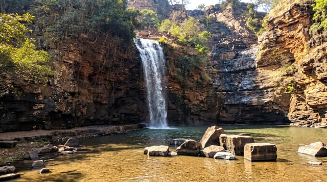
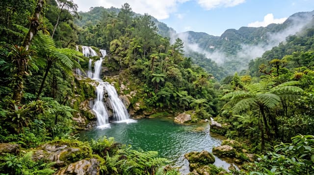
The Lierbach drops about ninety metres in seven cascades through a narrow granite gorge, with a stepped path and bridges climbing alongside. Above the falls stand the ruins of Allerheiligen, a Premonstratensian abbey founded around 1196; it was struck by lightning and burned in 1470 and again in 1555, was rebuilt each time, then dissolved in 1803 and struck once more in 1804, after which the buildings were sold and quarried for stone. What remains is the Gothic church shell, roofless, with its arches standing in a wooded valley. The site is used for open-air performances in summer.
Background
The stream is the Lierbach, also called the Grindenbach, and the falls lie at about 500 m above NN in the territory of Oppenau. Below each step the water has scoured basin-like hollows known as Gumpen, which give the falls their other names, the Büttensteiner Waterfalls, or Tub Stone falls, and Sieben Bütten, the Seven Tubs. The highest cascade measures 13 m, and the falls are 5 metres wide. For centuries they belonged to All Saints' Abbey, whose ruins stand a few hundred metres away, yet they were only explored in the early 19th century, with the help of ladders. The forestry authorities laid the path of steps and bridges in 1840.
Source: Wikipedia, "All Saints Waterfalls"
The landscape
- The seven cascades - about ninety metres of drops through a granite gorge.
- The abbey ruin - a roofless Gothic shell above the falls.
- The stepped path - bridges and steps climbing beside the water.
- The lightning history - a building repeatedly struck and finally quarried.
When to go
May to October; flow is strongest in spring. The path is icy and often closed in winter. Summer performances use the ruins in the evenings.
Things to know
The path is steep with many steps and slippery when wet. Late summer reduces the flow. Parking is paid and limited on weekends.
Nearby
The Black Forest High Road runs above; Oppenau lies below.
Key facts
Source: Wikidata, item Q2648518, read on 18 October 2026.
What to pack for All Saints Waterfalls
Chosen from what this place is for. Tap a kit for the full checklist.
- Broken-in walking shoes or boots - Grip and ankle support matter more than looks; never hike in brand-new boots. Find on Amazon
- Layers + a waterproof shell - Mountain weather turns fast; a packable rain jacket saves the day. Find on Amazon
- Daypack with rain cover - 20-30 litres holds water, snacks, layers and a first-aid kit. Find on Amazon
- Offline maps + a power bank - Download the trail before you lose signal; carry backup charge. Find on Amazon
Some links on this page are Amazon affiliate links - if you buy through them we may earn a small commission at no extra cost to you.
All packing kitsPlan your trip
Where to start if All Saints Waterfalls is going on the list.
Booking links on this page are affiliate links - if you book through them we may earn a small commission at no extra cost to you. It never changes what we write about a place.
Opening times, ticket prices and seasonal closures change - check the official source before you go: official site.