Paijanne National Park
Fifty islands in the southern part of Finland's second largest lake, reached only by boat.
Updated 12 October 2026
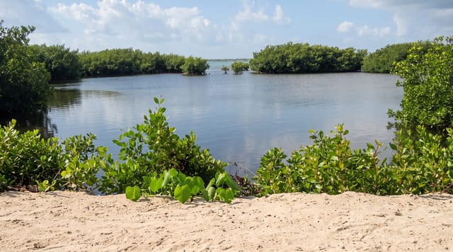
Paijanne is the second largest lake in Finland and the national park covers around fifty islands in its southern basin, most of them formed on eskers, long ridges of sand and gravel left by the retreating ice, which gives them steep sides, pine forest and beaches of sorted stone. The largest, Kelvenne, runs several kilometres and carries kettle holes, ponds left where blocks of buried ice melted out, along with a marked trail, camping areas and huts. Access is by boat only. The water is clear enough that it supplies the Helsinki region through a tunnel, and the lake is used for boating, fishing and swimming through the short summer.
What you'll find
- Esker islands - steep pine-covered ridges left by the ice.
- Kelvenne island - the largest, with a trail and kettle-hole ponds.
- Stone and sand beaches - the shores sorted by meltwater.
- Clear open water - the lake that supplies the capital region.
When to go
June to September; the boats and services run in summer only. A day or two. Access needs a boat, chartered or your own. Weather on open water changes quickly.
What to expect
There is no access without a boat and charters must be arranged. Facilities on the islands are camping areas and dry toilets. Open-water crossings are exposed and can be rough. Fires are restricted in dry spells.
Nearby
Asikkala is south; Jyvaskyla lies north up the lake.
Key facts
Source: Wikidata, item Q2378279, read on 18 October 2026.
What to pack for Paijanne National Park
Chosen from what this place is for. Tap a kit for the full checklist.
- Broken-in walking shoes or boots - Grip and ankle support matter more than looks; never hike in brand-new boots. Find on Amazon
- Travel rod + reel - A packable multi-piece rod fits in a case and covers most holiday fishing. Find on Amazon
- Reef-safe sunscreen - High SPF that will not bleach the coral you are swimming over. Find on Amazon
- Binoculars - The single best wildlife tool - even a compact pair transforms a sighting. Find on Amazon
Some links on this page are Amazon affiliate links - if you buy through them we may earn a small commission at no extra cost to you.
All packing kitsPlan your trip
Where to start if Paijanne National Park is going on the list.
Booking links on this page are affiliate links - if you book through them we may earn a small commission at no extra cost to you. It never changes what we write about a place.
Opening times, ticket prices and seasonal closures change - check the official source before you go: official site.