Kunoy
A narrow northern island of steep ridges, with a village, a planted wood and an abandoned settlement.
Saved in this browser only - no account, nothing sent anywhere. See your map
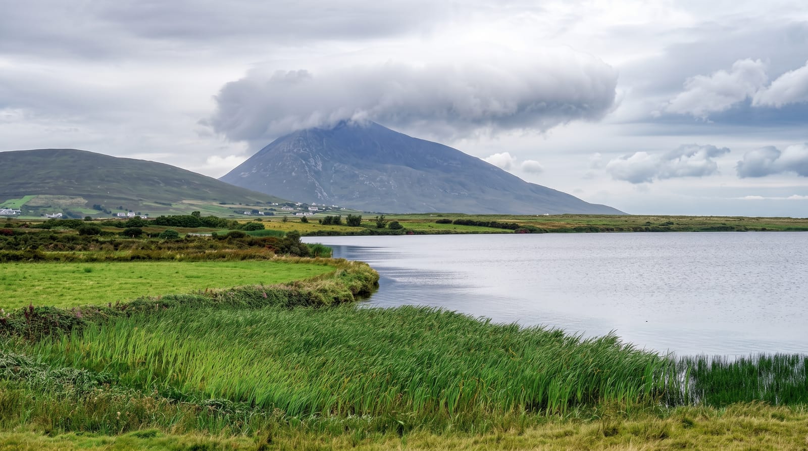
Kunoy is a long narrow island of steep ridges running north from a causeway link to Bordoy, and it has one of the highest average elevations in the archipelago. The village of Kunoy on the western side has an unusual feature for the Faroes: a planted wood, one of the very few stands of trees in the islands, put in during the twentieth century. On the eastern side lies Skarð, abandoned in 1919 after the village lost its men at sea.
What you actually see
- The planted wood - one of very few stands of trees in the Faroes, at Kunoy village.
- The steep ridges - the island's mountainous spine running north.
- Skard - the village abandoned in 1919 after a fishing disaster.
- The causeway - the road link across to Bordoy.
When to go
May to September is the season. The road tunnel is open year round but the island is exposed. Fog is frequent on the ridges.
Honest expectations
Skarð is reached only by a long walk over the ridge and is not casually accessible. Facilities on the island are minimal. Roads are narrow with passing places.
Nearby
Klaksvik is southeast, and Kalsoy is west across the sound.
What to pack for Kunoy
Chosen from what this place is for. Tap a kit for the full checklist.
Opening times, ticket prices and seasonal closures change - check the official source before you go: official site.