Lago de Guija
A lake shared with Guatemala whose falling waters expose petroglyph-covered rocks and old settlement remains.
Updated 21 October 2026
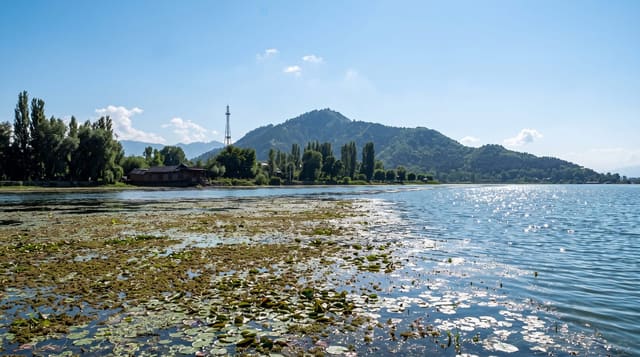
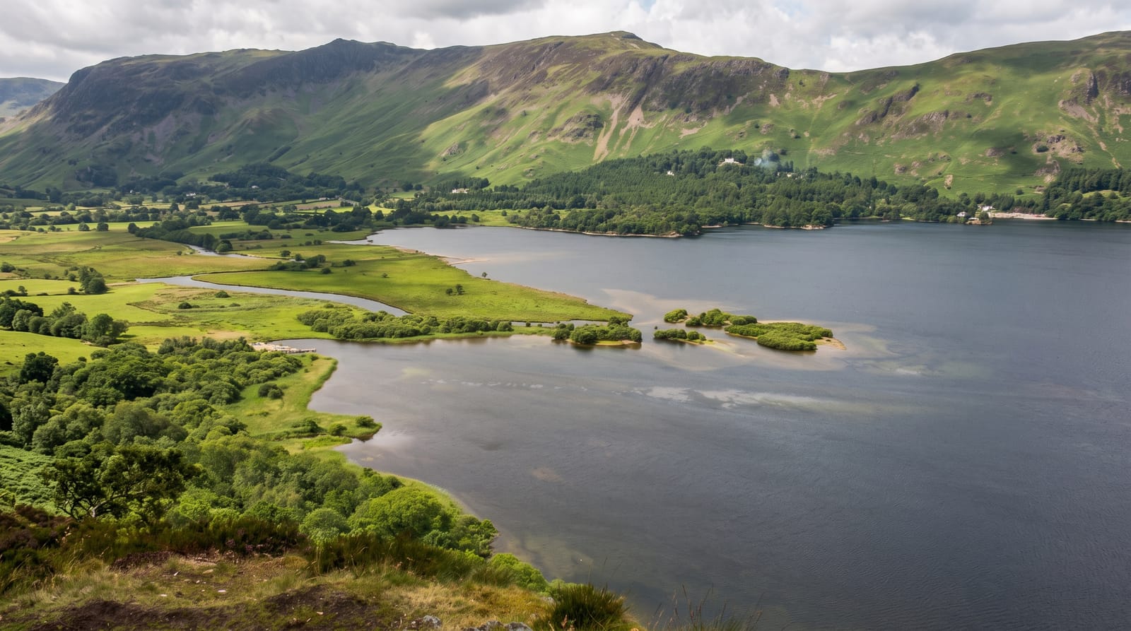
Guija lies in a basin northwest of Metapan, formed when a basalt lava flow from the San Diego volcano blocked the basin's old drainage, and it is divided between El Salvador and Guatemala. Its level rises and falls considerably with the season and with the hydroelectric scheme downstream, and when it drops, rocks and islets emerge carrying petroglyphs: spirals, faces and figures pecked into the basalt, along with the traces of settlements that were flooded. Igualtepeque island holds an archaeological site. Boats are hired at shore villages to reach the rocks and the islands. Birds are numerous on the shallows, and fishing is the main local activity.
History
The lake is of volcanic origin, formed when a large basalt lava flow from the San Diego volcano blocked the old drainage of the Güija basin. The Lenca, Xinca, Ch'orti' and Pipil peoples lived around it, twenty archaeological sites from the Late Preclassic and the Postclassic periods have been recorded in the area, and in the 16th century Diego García de Palacio wrote that two rocks near the lake were used by the local people for sacrifice and worship. Guatemala and El Salvador drew their border across the lake in 1938, leaving about seven tenths of it in El Salvador, and in 1957 the two countries signed an agreement on sharing its water (Wikipedia, Lake Güija).
What you'll find
- Petroglyph rocks - the pecked figures exposed as the water drops.
- Igualtepeque island - the archaeological site on the lake.
- Waterbirds - the herons, ducks and waders on the shallows.
- Fishing villages - the settlements around the shore.
When to go
February to May, when the water is at its lowest and the petroglyphs are exposed; in the wet season they are underwater and invisible. Mornings are calmest for boats. Levels vary year to year.
Things to know
The petroglyphs are only visible when levels are low, which is not guaranteed. Boat hire is informal and negotiated. There are no facilities at the shore. The lake crosses an international boundary and boats stay on the Salvadoran side.
Nearby
Metapan lies southeast; Montecristo is north.
Key facts
Source: Wikidata, item Q1800414, read on 18 October 2026.
What to pack for Lago de Guija
Chosen from what this place is for. Tap a kit for the full checklist.
- Travel rod + reel - A packable multi-piece rod fits in a case and covers most holiday fishing. Find on Amazon
- Reef-safe sunscreen - High SPF that will not bleach the coral you are swimming over. Find on Amazon
- A small tackle selection - Hooks, weights, line and a few lures or flies suited to local waters. Find on Amazon
- Quick-dry towel - A microfibre towel packs small and dries in minutes. Find on Amazon
Some links on this page are Amazon affiliate links - if you buy through them we may earn a small commission at no extra cost to you.
All packing kitsPlan your trip
Where to start if Lago de Guija is going on the list.
Booking links on this page are affiliate links - if you book through them we may earn a small commission at no extra cost to you. It never changes what we write about a place.
Opening times, ticket prices and seasonal closures change - check the official source before you go: official site.