Sierra de Neiba
A little-visited range north of Lake Enriquillo with cloud forest above two thousand metres and some of the country's quietest walking.
Updated 3 September 2026
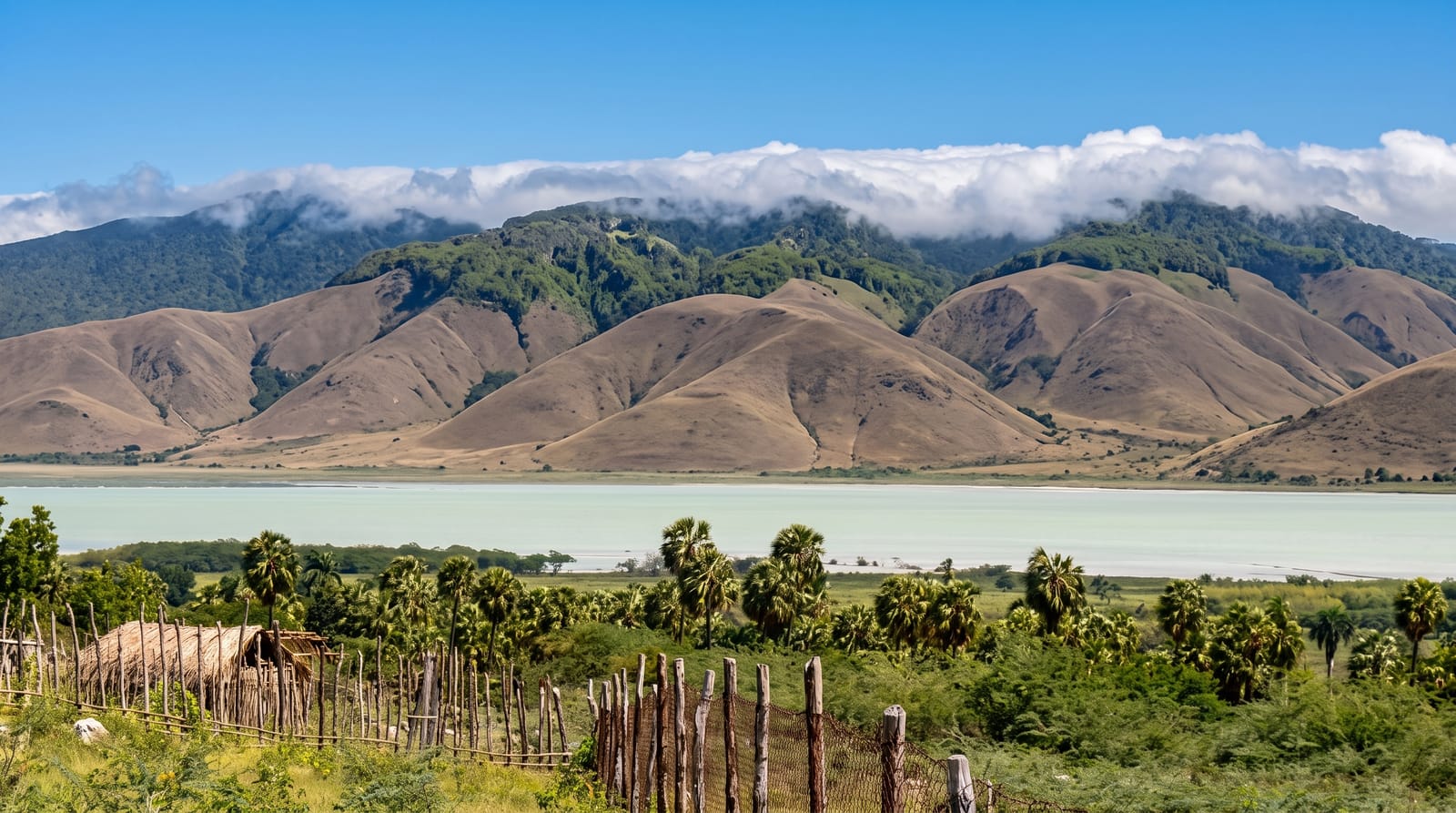
AI illustration
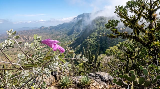
The Neiba range runs east to west north of Lake Enriquillo, rising above two thousand metres, and it is the least visited of the country's major protected areas. The pattern is the same as Bahoruco to the south but the traffic is a fraction: dry scrub at the foot, then broadleaf forest, then a cloud forest belt on the ridge with tree ferns, moss and orchids. It shelters most of the same endemic birds and a number of endemic plants and amphibians, and because so few people come, the walking is genuinely solitary. Communities on the slopes grow coffee and beans, and access is on rough tracks from Neiba or from the northern side.
The landscape
- The cloud forest ridge - moss, tree ferns and orchids above two thousand metres.
- Endemic birds - the same species as Bahoruco with far fewer people.
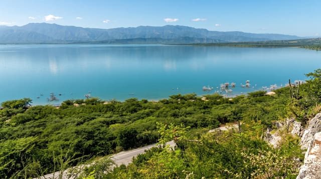
- The view over Lake Enriquillo - the salt lake far below to the south.
- The coffee slopes - smallholdings on the way up.
When to go
November to April is drier and the tracks passable. Mornings are clearest. It is cold on the ridge, often below fifteen degrees with wind. Local guides are arranged in Neiba or through lodges near the lake.
Practical notes
There is essentially no infrastructure: no marked trails, no visitor centre, no accommodation inside the park. Access needs four-wheel drive and local knowledge, and going without a guide is unwise. Deforestation for charcoal and farming has cut into the lower slopes. Very few operators run trips here at all.
Nearby
Lake Enriquillo is below to the south; Barahona is two hours southeast.
Key facts
Source: Wikidata, item Q2284502, read on 18 October 2026.
What to pack for Sierra de Neiba
Chosen from what this place is for. Tap a kit for the full checklist.
- Broken-in walking shoes or boots - Grip and ankle support matter more than looks; never hike in brand-new boots. Find on Amazon
- Binoculars - The single best wildlife tool - even a compact pair transforms a sighting. Find on Amazon
- Layers + a waterproof shell - Mountain weather turns fast; a packable rain jacket saves the day. Find on Amazon
- A zoom camera or long lens - Animals rarely come close; reach beats megapixels. Find on Amazon
Some links on this page are Amazon affiliate links - if you buy through them we may earn a small commission at no extra cost to you.
All packing kitsPlan your trip
Where to start if Sierra de Neiba is going on the list.
Booking links on this page are affiliate links - if you book through them we may earn a small commission at no extra cost to you. It never changes what we write about a place.
Opening times, ticket prices and seasonal closures change - check the official source before you go: official site.