Sierra de Bahoruco
A southwestern range running from desert scrub to cloud forest in a few kilometres, holding almost every endemic bird on the island.
Updated 19 October 2026
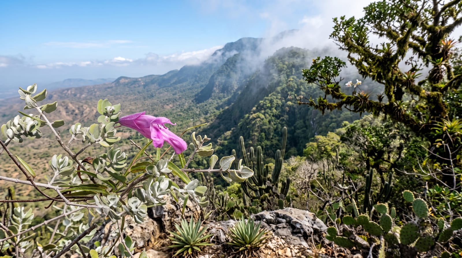
AI illustration
The Bahoruco range rises from below sea level at Lake Enriquillo to over two thousand metres, and because it climbs so fast it stacks an extraordinary range of habitats on top of each other: cactus and thorn scrub at the bottom, then broadleaf forest, then pine, then cloud forest hung with moss and orchids at the top. Hispaniola has around thirty bird species found nowhere else and nearly all of them occur here, which makes this the single most important birding site in the Caribbean; the Bay-breasted Cuckoo, Hispaniolan Trogon and White-winged Warbler are among the targets. The range also holds several hundred orchid species. Access is on rough tracks, often with a local guide.
History
The range's name is first recorded by Bartolomé de las Casas in his account of the Indies, who took it from the sound the Taíno used for the region. The Sierra de Bahoruco, in the far southwest of the country, is rich in salt and gypsum, holds the Oviedo lagoon in its southern part, and is separated from the Neiba range by Lake Enriquillo; much of it is protected as the Sierra de Bahoruco National Park, a biosphere reserve (Wikipedia, Baoruco Mountain Range).
What you'll find
- The endemic birds - nearly all of Hispaniola's endemics in one range.
- The habitat gradient - desert to cloud forest within a few kilometres.
- The orchids - several hundred species across the range.
- Hoyo de Pelempito - the viewpoint over the range's inner depression.
When to go
November to April is drier and the tracks passable; birding is best at first light, which means staying nearby and starting before dawn. The cloud forest is wet and cool year-round. Guides are booked through lodges in Barahona and the villages below.
Before you go
Access is on rough mountain tracks that need four-wheel drive and local knowledge, and getting lost here is easy. There is almost no infrastructure inside the park. Charcoal burning and agricultural clearance have damaged parts of the range and continue to. Without a guide, most visitors see very little of what they came for.
Nearby
Barahona and the southern coast road are below; Lake Enriquillo is north.
Key facts
Source: Wikidata, item Q2403979, read on 18 October 2026.
What to pack for Sierra de Bahoruco
Chosen from what this place is for. Tap a kit for the full checklist.
- Broken-in walking shoes or boots - Grip and ankle support matter more than looks; never hike in brand-new boots. Find on Amazon
- Reef-safe sunscreen - High SPF that will not bleach the coral you are swimming over. Find on Amazon
- Binoculars - The single best wildlife tool - even a compact pair transforms a sighting. Find on Amazon
- Loose, light, long clothing - Covering up beats bare skin in the desert - and locals dress this way for a reason. Find on Amazon
Some links on this page are Amazon affiliate links - if you buy through them we may earn a small commission at no extra cost to you.
All packing kitsPlan your trip
Where to start if Sierra de Bahoruco is going on the list.
Booking links on this page are affiliate links - if you book through them we may earn a small commission at no extra cost to you. It never changes what we write about a place.
Opening times, ticket prices and seasonal closures change - check the official source before you go: official site.