Odsherred Geopark
A UNESCO Global Geopark on a north-west Zealand peninsula shaped by three parallel ice-age moraine arcs.
Updated 31 August 2026
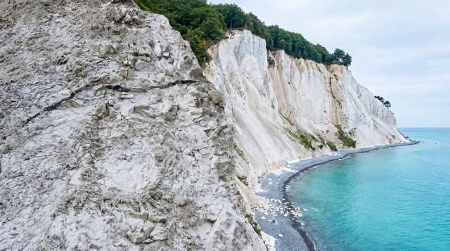
Odsherred was designated a UNESCO Global Geopark in 2014 for the clarity of its ice-age landscape: three parallel arcs of terminal moraine, pushed up by ice lobes at the end of the last glaciation and now standing as ridges above flat drained land, with the pattern legible from the ground in a way that is unusual. Between the ridges lie the beds of drained lakes and fjords, above all Lammefjord, drained from the 1870s and now farmland several metres below sea level, known for its carrots. The peninsula also has a long artistic tradition, the Odsherred painters who worked here from the 1930s, a good deal of coast, and Denmark's only inland sand dunes at Ordrup Naes.
The landscape
- Three moraine arcs - ice-age ridges legible across the whole peninsula.
- Lammefjord - drained farmland several metres below sea level.
- The Odsherred painters - the artistic colony and its museum at Fars Hatt.
- Coast and inland dunes - beaches plus the dune field at Ordrup Naes.
When to go
May to September. Two days to cover the peninsula properly by car or bike; the geopark has marked routes linking the geological sites. Summer is busy with Danish holiday homes; spring and autumn are quiet.
Things to know
A Global Geopark is a different designation from a World Heritage Site and confuses some visitors. The geology needs the interpretation panels to be legible; without them it is farmland and low hills. Sites are spread out and public transport is thin. Summer holiday traffic is heavy.
Nearby
Hundested is across the fjord by ferry; Holbaek lies south.
What to pack for Odsherred Geopark
Chosen from what this place is for. Tap a kit for the full checklist.
- Broken-in walking shoes or boots - Grip and ankle support matter more than looks; never hike in brand-new boots. Find on Amazon
- Reef-safe sunscreen - High SPF that will not bleach the coral you are swimming over. Find on Amazon
- Padded shorts - The one thing that makes a full day in the saddle bearable. Find on Amazon
- Binoculars - The single best wildlife tool - even a compact pair transforms a sighting. Find on Amazon
Some links on this page are Amazon affiliate links - if you buy through them we may earn a small commission at no extra cost to you.
All packing kitsPlan your trip
Where to start if Odsherred Geopark is going on the list.
Booking links on this page are affiliate links - if you book through them we may earn a small commission at no extra cost to you. It never changes what we write about a place.
Opening times, ticket prices and seasonal closures change - check the official source before you go: official site.