San Gerardo de Dota
A steep cloud-forest valley high in the Talamanca mountains, the most reliable place in the country to see the resplendent quetzal.
Updated 1 September 2026
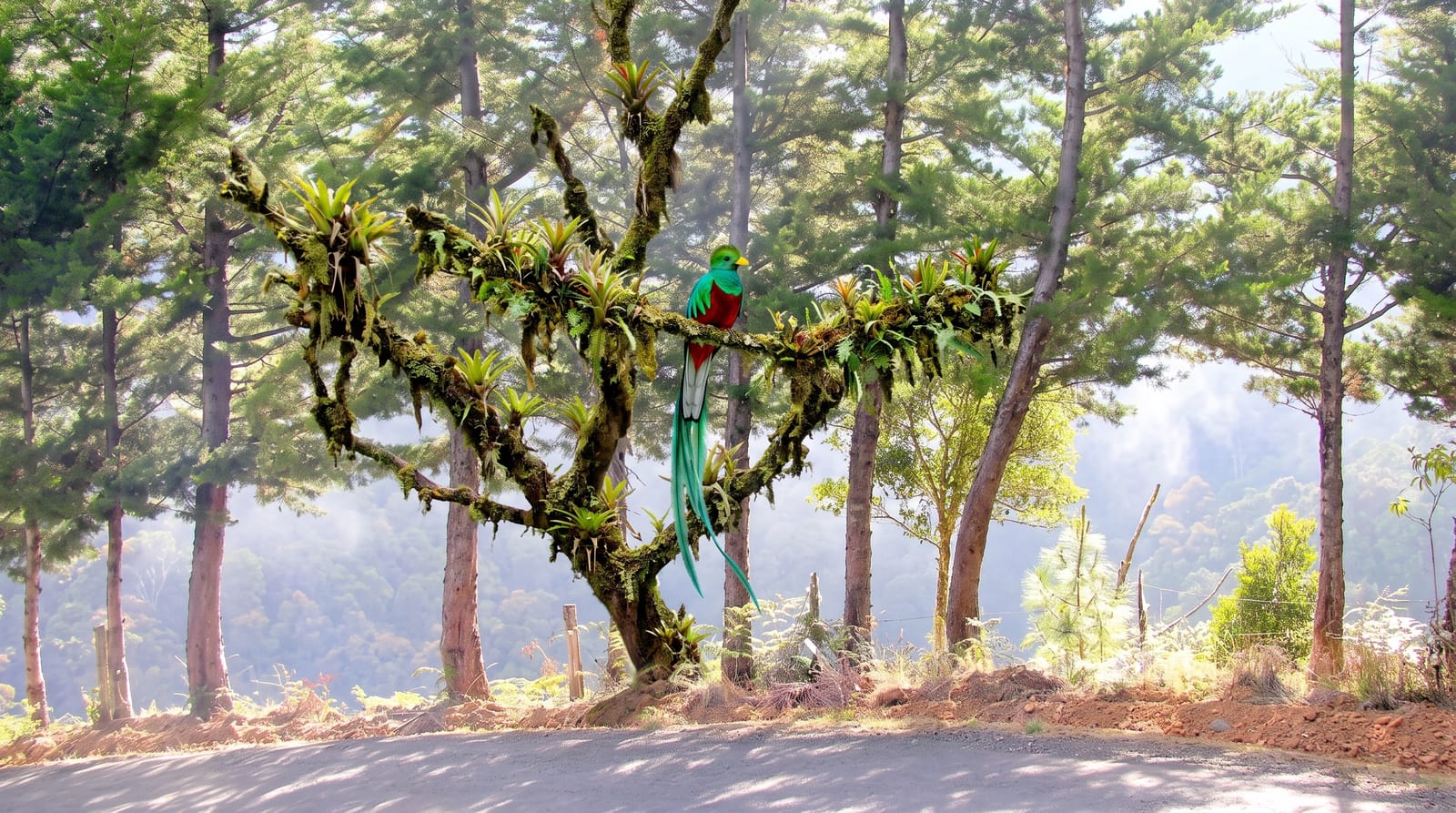
AI illustration
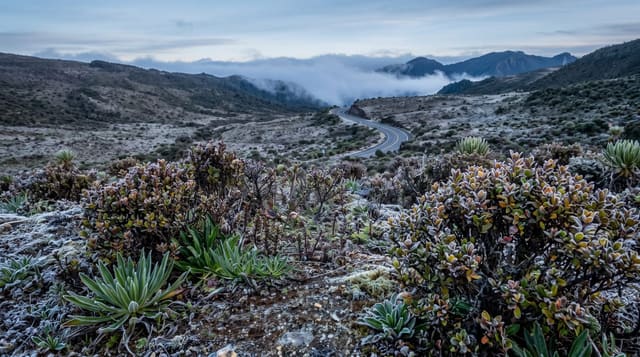
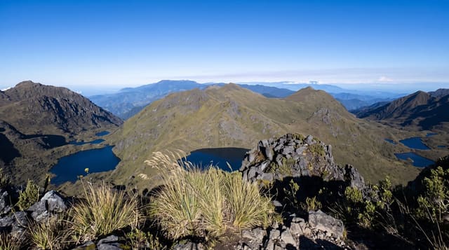
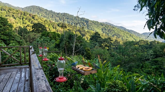
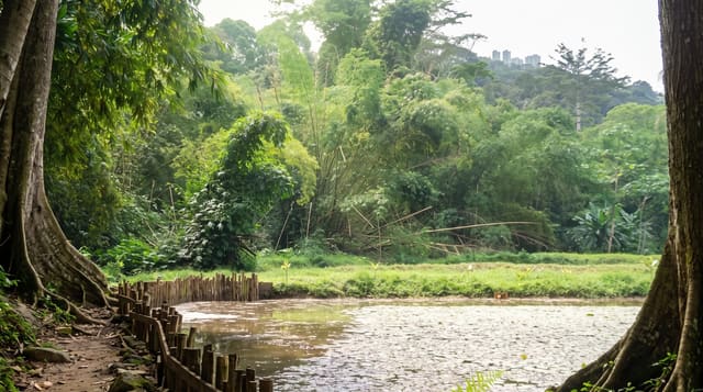
San Gerardo de Dota is a narrow valley dropping off the high ridge of the Cerro de la Muerte, filled with mossy oak cloud forest and a cold trout river, and it is the place birdwatchers come for one species above all: the resplendent quetzal, the emerald bird with a scarlet breast and metre-long tail streamers that the Maya and Aztecs prized above gold. They are here because the valley is full of wild avocado trees, whose small fruit is the quetzal's staple, and local guides know the fruiting trees, so a dawn walk in season gives a genuinely good chance of seeing one. Beyond the quetzal, the valley holds hummingbirds in numbers, trogons, the sootily beautiful silky-flycatchers, waterfalls, and cool oak forest hung with moss and bromeliads. It is cold at this altitude, and the atmosphere is more mountain lodge than tropical resort.
What you'll find
- The resplendent quetzal - seen with a local guide on dawn walks in the fruiting season.
- The oak cloud forest - mossy high-altitude forest hung with bromeliads.
- Hummingbird feeders - a remarkable concentration of highland hummingbird species.
- The Savegre river and falls - the cold trout river and waterfall walks in the valley.
When to go
The nesting season, roughly March to June, is the most reliable time for quetzals, though they are present much of the year; December to May is drier generally. Walks start at dawn because that is when the birds feed. Nights are genuinely cold at over two thousand metres, so pack warm layers.
Things to know
Quetzals are wild and not guaranteed, though the odds here are the best in the country and a local guide improves them enormously; going alone at nine in the morning almost certainly means missing them. The road down into the valley is very steep and, while paved, demands care and low gear. It is cold and often damp, which surprises visitors who packed for the tropics.
Nearby
The Cerro de la Muerte páramo is on the ridge above; Chirripó and the southern Pacific coast lie further south.
Key facts
Source: Wikidata, item Q14232137, read on 18 October 2026.
What to pack for San Gerardo de Dota
Chosen from what this place is for. Tap a kit for the full checklist.
- Broken-in walking shoes or boots - Grip and ankle support matter more than looks; never hike in brand-new boots. Find on Amazon
- Binoculars - The single best wildlife tool - even a compact pair transforms a sighting. Find on Amazon
- Layers + a waterproof shell - Mountain weather turns fast; a packable rain jacket saves the day. Find on Amazon
- A zoom camera or long lens - Animals rarely come close; reach beats megapixels. Find on Amazon
Some links on this page are Amazon affiliate links - if you buy through them we may earn a small commission at no extra cost to you.
All packing kitsPlan your trip
Where to start if San Gerardo de Dota is going on the list.
Booking links on this page are affiliate links - if you book through them we may earn a small commission at no extra cost to you. It never changes what we write about a place.
Opening times, ticket prices and seasonal closures change - check the official source before you go: official site.