Cerro de la Muerte
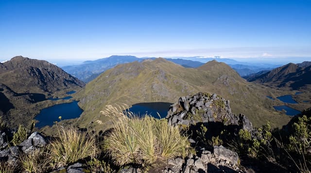
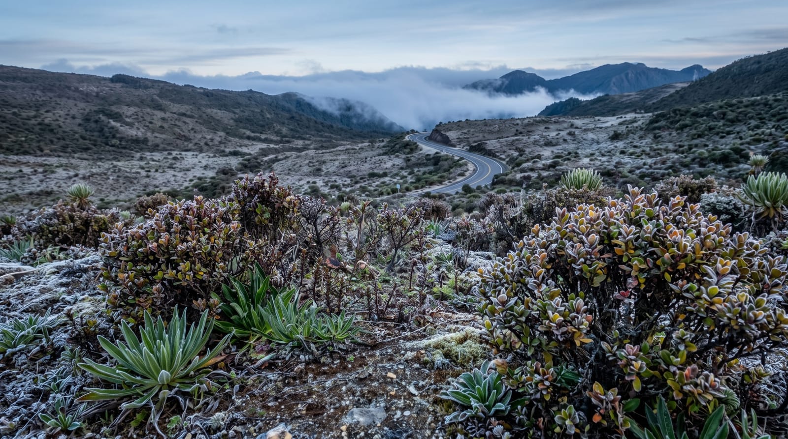
The high páramo pass on the road south, at over three thousand metres, cold and treeless in a country where neither is expected.
Updated 1 September 2026
AI illustration
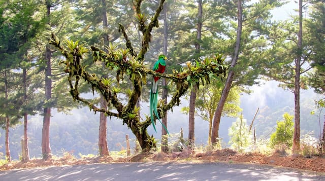
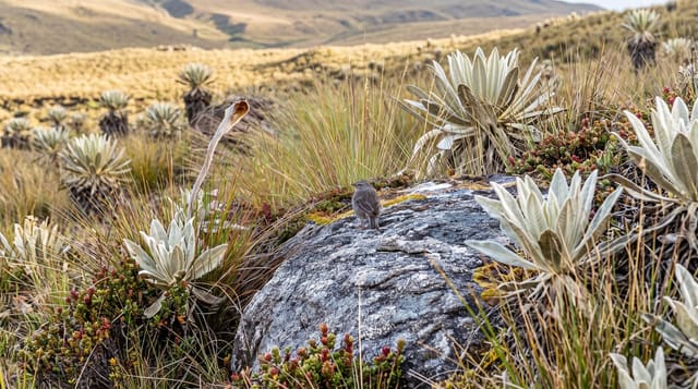
The Pan-American Highway crosses the Talamanca range at Cerro de la Muerte, the mountain of death, at over three thousand three hundred metres, and the name comes from the time when the crossing was made on foot and people froze doing it. It is the highest point on the road system, and the landscape at the top is páramo: no trees, dense low shrubs, dwarf bamboo, and frost on clear mornings. Volcán Irazú and both coasts are visible on the rare clear day. The valleys dropping off it, San Gerardo de Dota among them, hold cloud forest and the country's most reliable quetzal sightings.
What you'll find
- The páramo - treeless high shrubland above three thousand metres.
- The frost - genuine ground frost on clear mornings.
- The long view - both coasts and Irazú on a rare clear day.
- The side valleys - cloud forest and quetzals below the pass.
When to go
December to April is the dry season and the only time the view is likely; the pass is in cloud most of the year and fog on the road is a serious hazard. Early morning is clearest. It is cold at the top, often near freezing before dawn.
What to expect
The highway over the pass is dangerous: fog reduces visibility to metres, heavy trucks crawl on the grades, and the accident record is poor. Do not drive it at night or in fog. There is little infrastructure at the top beyond a few roadside stops. Altitude affects some people arriving from sea level.
Nearby
San Gerardo de Dota is in the valley below; Chirripó is along the range.
Key facts
Source: Wikidata, item Q4391501, read on 18 October 2026.
What to pack for Cerro de la Muerte
Chosen from what this place is for. Tap a kit for the full checklist.
- Broken-in walking shoes or boots - Grip and ankle support matter more than looks; never hike in brand-new boots. Find on Amazon
- Layers for big temperature swings - Warm sun by day, near-freezing at night, even near the equator. Find on Amazon
- Layers + a waterproof shell - Mountain weather turns fast; a packable rain jacket saves the day. Find on Amazon
- Extra-strong sun protection - Thin air means fierce UV; hat, sunglasses and high-SPF sunscreen. Find on Amazon
Some links on this page are Amazon affiliate links - if you buy through them we may earn a small commission at no extra cost to you.
All packing kitsPlan your trip
Where to start if Cerro de la Muerte is going on the list.
Booking links on this page are affiliate links - if you book through them we may earn a small commission at no extra cost to you. It never changes what we write about a place.
Opening times, ticket prices and seasonal closures change - check the official source before you go: official site.