Isla del Caño
A small biological reserve off the Osa Peninsula with the clearest water on the Pacific coast and pre-Columbian stone spheres in its forest.
Updated 1 September 2026
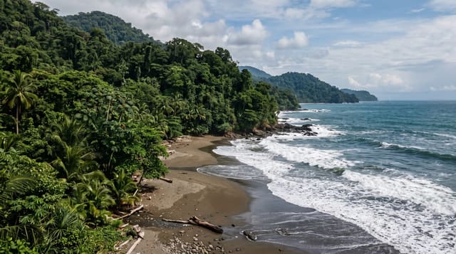
AI illustration
Caño is an uninhabited island of about three square kilometres roughly twenty kilometres off the Osa Peninsula, protected as a biological reserve, and it is where Pacific Costa Rica has its clearest water: visibility regularly runs past twenty metres, which on this coast is exceptional, and the rock reefs around it hold white-tip reef sharks, rays, turtles and large schools of fish. Humpback whales pass through in two seasons. In the forest above are stone spheres of the Diquís culture, carried here in pre-Columbian times and evidence that the island was used ceremonially, possibly as a burial ground.
Highlights
- The diving and snorkelling - the clearest water on the Costa Rican Pacific.
- White-tip reef sharks - resting on the sand between the rock reefs.
- Humpback whales - passing in two separate seasons.
- The stone spheres - Diquís spheres carried to the island in antiquity.
When to go
December to April has the calmest crossings and best visibility. Humpbacks pass from July to October and again from December to March, from the southern and northern populations respectively. Landing on the island is now heavily restricted, so most trips are water-based.
Practical notes
Landing is restricted to protect the reserve and the archaeology, so for most visitors this is a boat and water trip with no time ashore. The crossing from Uvita is long and often rough. Numbers of divers are capped daily. Coral here has suffered from warming events and the reef is patchy in places.
Nearby
Drake Bay and Corcovado are on the Osa Peninsula; Uvita is on the mainland coast.
Key facts
Source: Wikidata, item Q182214, read on 18 October 2026.
What to pack for Isla del Caño
Chosen from what this place is for. Tap a kit for the full checklist.
- Reef-safe sunscreen - High SPF that will not bleach the coral you are swimming over. Find on Amazon
- Your own mask + snorkel - A well-fitting mask is the single biggest comfort upgrade underwater. Find on Amazon
- Binoculars - The single best wildlife tool - even a compact pair transforms a sighting. Find on Amazon
- Quick-dry towel - A microfibre towel packs small and dries in minutes. Find on Amazon
Some links on this page are Amazon affiliate links - if you buy through them we may earn a small commission at no extra cost to you.
All packing kitsPlan your trip
Where to start if Isla del Caño is going on the list.
Booking links on this page are affiliate links - if you book through them we may earn a small commission at no extra cost to you. It never changes what we write about a place.
Opening times, ticket prices and seasonal closures change - check the official source before you go: official site.