Cross-Island Track
Rarotonga's spine crossing - a steep jungle climb past the volcanic Needle and down a stream valley to a waterfall on the far coast.
Updated 7 August 2026
AI illustration
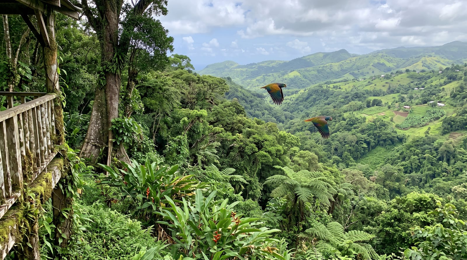
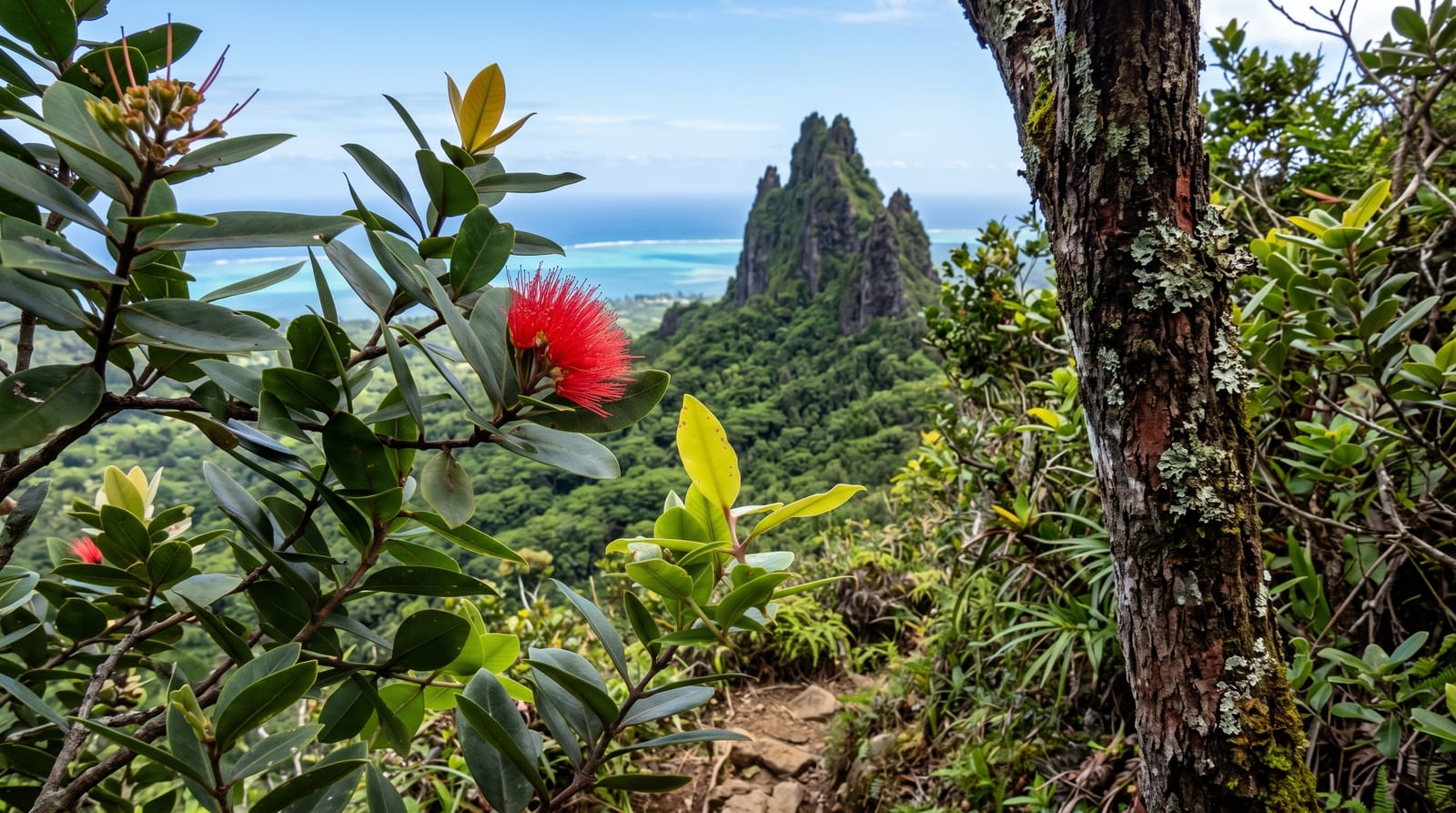
The Cross-Island Track cuts straight over Rarotonga's mountainous interior, from the north coast up a steep jungle ridge to Te Rua Manga - the Needle, a dramatic volcanic plug that stands clear of the forest - then down a long stream valley to Wigmore's Waterfall and the southern coast road. It takes three to four hours and delivers the island's interior, which most visitors never see from the ring road: dense forest, tree ferns, birdsong and views over the lagoon on both sides from the ridge. Ending with a swim under the waterfall is the traditional finish.
The landscape
- Te Rua Manga, the Needle - the volcanic plug at the ridge top.
- The ridge views - the lagoon on both sides of the island.
- The stream descent - the long valley walk south.
- Wigmore's Waterfall - the swim at the southern end.
When to go
The drier months from May to October give firmer footing; the wet season turns the descent into a mudslide. Start early to avoid heat and afternoon rain. The track is best walked north to south, ending at the falls.
Before you go
This is steeper and muddier than the distance suggests, with rope-assisted sections and slippery clay - proper shoes are essential and people do get hurt. Walking it alone is discouraged; guided walks are inexpensive and add a lot. Transport needs planning since you finish on the opposite coast from where you started. After rain the stream crossings rise and the track can become genuinely unsafe.
Nearby
Wigmore's Waterfall, Muri lagoon and Avarua town.
What to pack for Cross-Island Track
Chosen from what this place is for. Tap a kit for the full checklist.
- Broken-in walking shoes or boots - Grip and ankle support matter more than looks; never hike in brand-new boots. Find on Amazon
- Reef-safe sunscreen - High SPF that will not bleach the coral you are swimming over. Find on Amazon
- Strong insect repellent - DEET or picaridin; the jungle is where bites and disease risk are highest. Find on Amazon
- Layers + a waterproof shell - Mountain weather turns fast; a packable rain jacket saves the day. Find on Amazon
Some links on this page are Amazon affiliate links - if you buy through them we may earn a small commission at no extra cost to you.
All packing kitsPlan your trip
Where to start if Cross-Island Track is going on the list.
Booking links on this page are affiliate links - if you book through them we may earn a small commission at no extra cost to you. It never changes what we write about a place.
Opening times, ticket prices and seasonal closures change - check the official source before you go: official site.