Tatama National Park
A Western Cordillera park whose paramo is among the very few in Colombia never touched by cattle, burning or planting.
Updated 30 August 2026
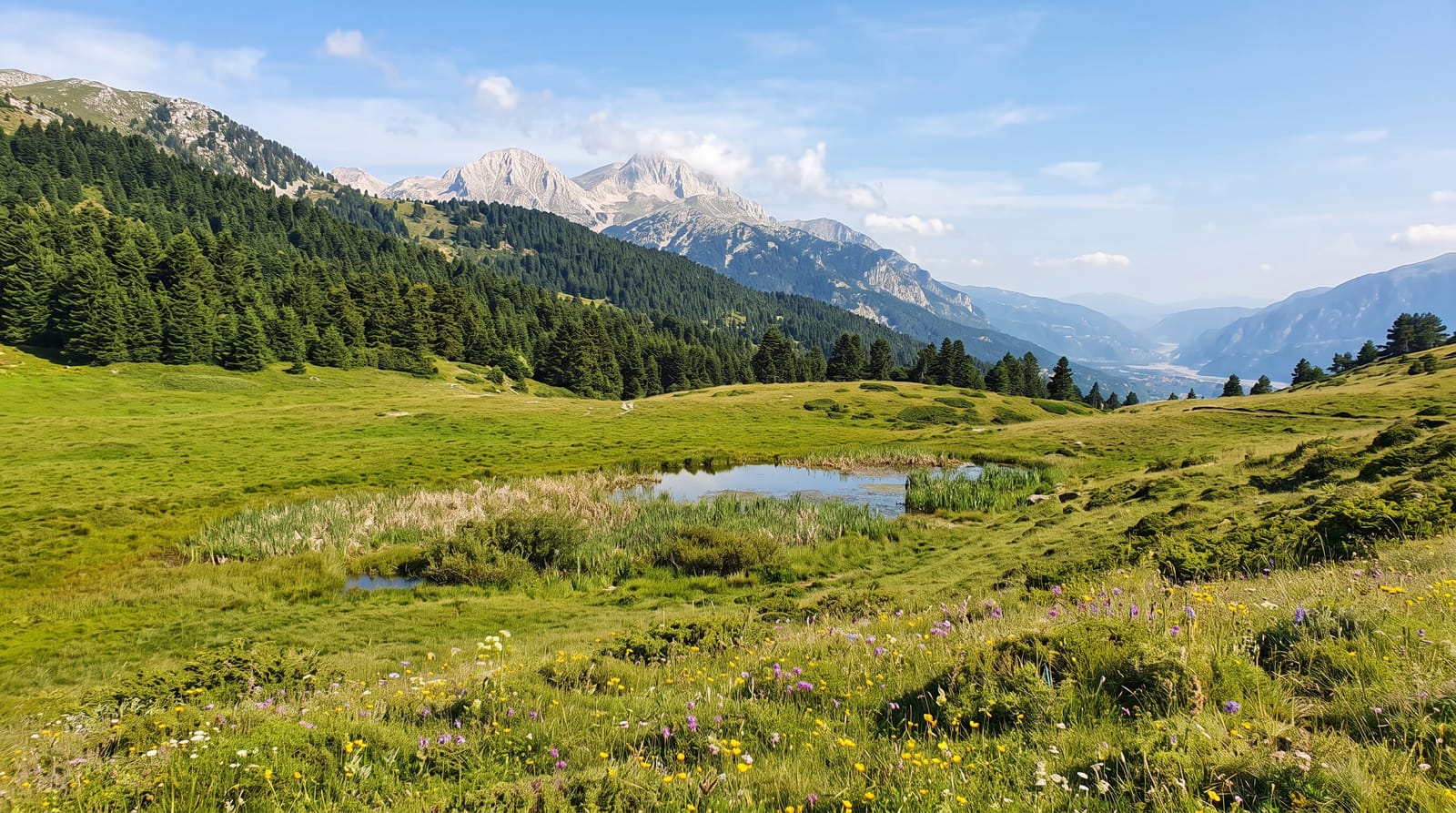
Tatama covers about fifty-one thousand hectares on the Western Cordillera and rises to around 4,200 metres at Cerro Tatama, and what is unusual about it is condition: the paramo at the top is one of very few in Colombia that has never been grazed, burned or planted, because the approaches are steep, wet and difficult enough that nobody took cattle up. That makes it a reference point for what undisturbed paramo looks like. The Pacific slope below is Choco rainforest and among the wettest and most biodiverse country on earth, and the Montezuma road on that side is one of the best-known birding routes in the Americas, running through a long altitudinal range with many endemics. There is no infrastructure in the park.
What you'll find
- Ungrazed, unburned paramo - among the very few left in that condition.
- Choco rainforest on the Pacific slope - among the wettest anywhere.
- The Montezuma road - a birding route with many endemics.
- No infrastructure inside the park - guides and permits required.
When to go
December to March, though rain is constant on the Pacific slope. Several days.
What to expect
Rain is relentless on the western side. Access is difficult and requires guides and permits. There are no facilities in the park. The summit paramo is a serious multi-day undertaking.
Nearby
Pueblo Rico is west; Santuario and Pereira are east.
What to pack for Tatama National Park
Chosen from what this place is for. Tap a kit for the full checklist.
- Broken-in walking shoes or boots - Grip and ankle support matter more than looks; never hike in brand-new boots. Find on Amazon
- Binoculars - The single best wildlife tool - even a compact pair transforms a sighting. Find on Amazon
- Strong insect repellent - DEET or picaridin; the jungle is where bites and disease risk are highest. Find on Amazon
- Layers for big temperature swings - Warm sun by day, near-freezing at night, even near the equator. Find on Amazon
Some links on this page are Amazon affiliate links - if you buy through them we may earn a small commission at no extra cost to you.
All packing kitsPlan your trip
Where to start if Tatama National Park is going on the list.
Booking links on this page are affiliate links - if you book through them we may earn a small commission at no extra cost to you. It never changes what we write about a place.
Opening times, ticket prices and seasonal closures change - check the official source before you go: official site.