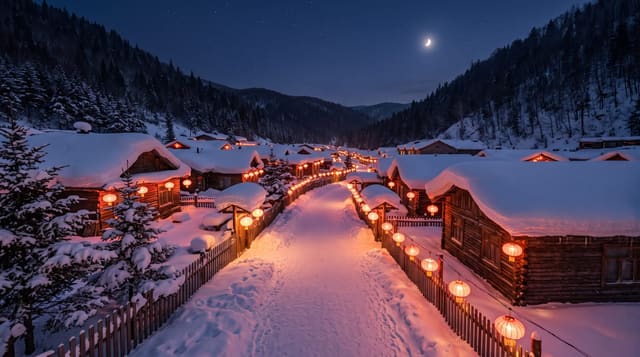
Jingpo Lake
A long lake formed when lava blocked a river, ending in a waterfall that pours into a basalt cauldron.
Updated 21 October 2026
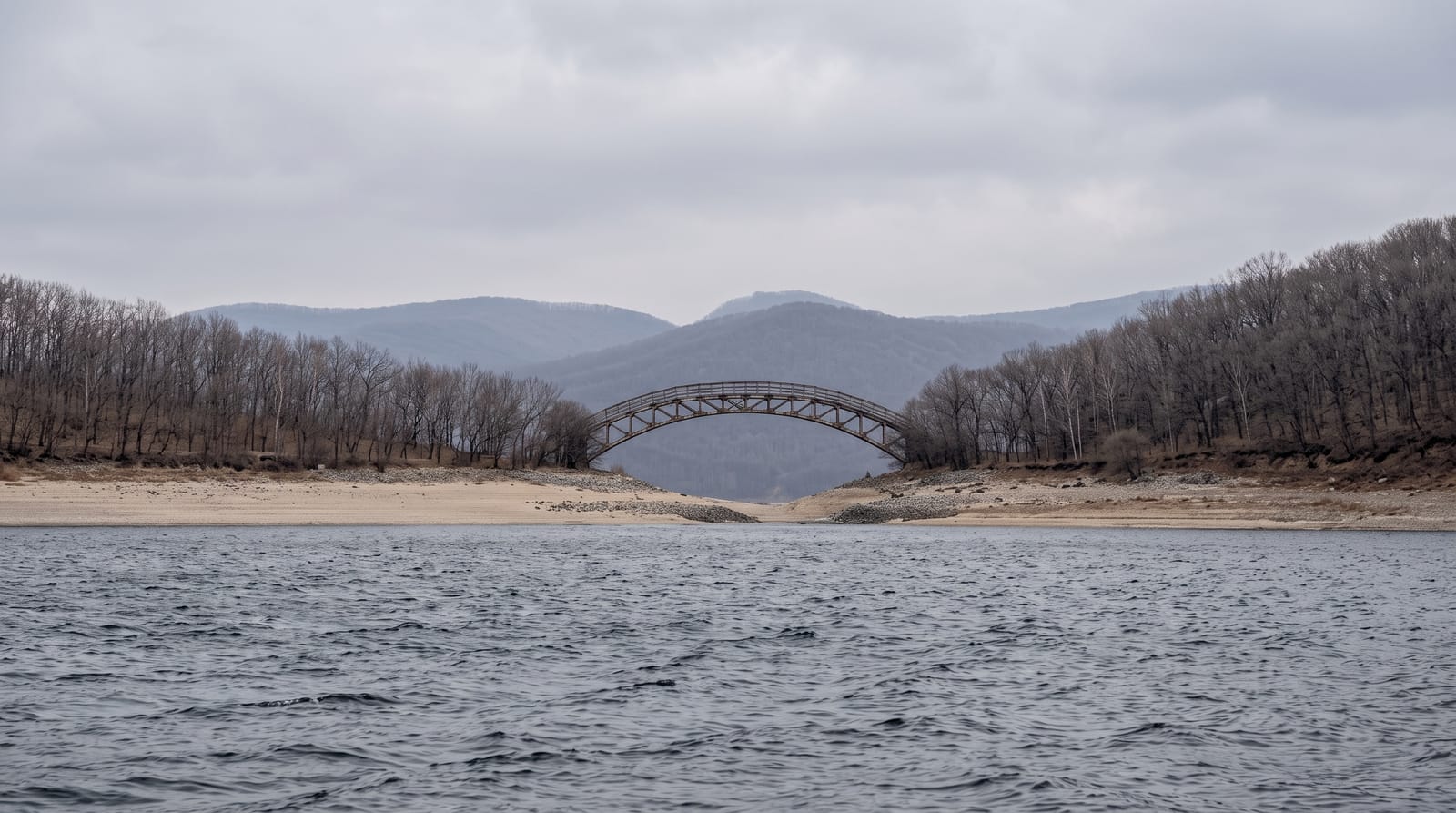
AI illustration
Jingpo Lake was created around ten thousand years ago when lava flows dammed the Mudan river, backing up water into a lake some forty-five kilometres long between wooded hills, the largest lava-dammed lake in China. At its northern end the river escapes over a basalt lip in the Diaoshuilou Waterfall, around forty metres wide and twenty high, falling into a circular basin, at its most powerful after summer rain and reduced to threads in dry months, while in winter it freezes into an ice wall. Boats run the lake, and the underground forest nearby, a set of volcanic craters filled with trees growing from the crater floors, is part of the same scenic area.
What's there
- Diaoshuilou Waterfall - the fall into a circular basalt basin.
- The long lake - forty-five kilometres of water between wooded hills.
- The underground forest - trees growing inside volcanic crater depressions.
- The boat routes - cruises along the lake from the northern end.
When to go
June to September, with the waterfall strongest from July after the summer rains; by late autumn flow drops sharply. Winter freezes the falls into ice, which draws its own visitors. Facilities are reduced outside summer.
Things to know
Waterfall flow varies enormously and dry-season visits are disappointing. The scenic area charges for entry, shuttle and boat separately. Crowds in summer holidays are heavy, and the area is a long trip from Harbin.
Nearby
Mudanjiang lies northeast; the Korean border region is south.
Key facts
Source: Wikidata, item Q716287, read on 18 October 2026.
What to pack for Jingpo Lake
Chosen from what this place is for. Tap a kit for the full checklist.
- Broken-in walking shoes or boots - Grip and ankle support matter more than looks; never hike in brand-new boots. Find on Amazon
- Head torch + spare batteries - Hands-free light is essential; caves are truly dark. Find on Amazon
- Layers + a waterproof shell - Mountain weather turns fast; a packable rain jacket saves the day. Find on Amazon
- Grippy closed shoes - Cave floors are wet, muddy and slick with formations. Find on Amazon
Some links on this page are Amazon affiliate links - if you buy through them we may earn a small commission at no extra cost to you.
All packing kitsPlan your trip
Where to start if Jingpo Lake is going on the list.
Booking links on this page are affiliate links - if you book through them we may earn a small commission at no extra cost to you. It never changes what we write about a place.
Opening times, ticket prices and seasonal closures change - check the official source before you go: official site.