Hulunbuir Grasslands
A quarter of a million square kilometres of steppe in northeastern Inner Mongolia, among the best preserved grassland in China.
Updated 4 September 2026
AI illustration
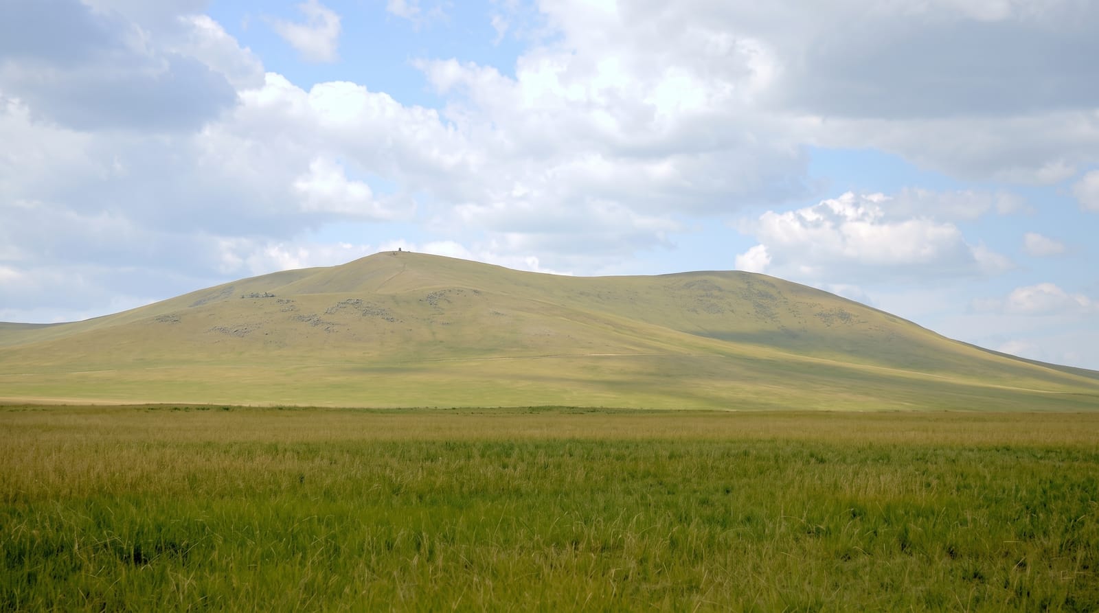
Hulunbuir covers around a quarter of a million square kilometres of northeastern Inner Mongolia, named for the two large lakes Hulun and Buir, and it is generally regarded as the least degraded of China's major grasslands, with grass that in a good year grows high enough to hide sheep. The Mergel and Genhe rivers wind across it in extreme meanders, photographed from ridge viewpoints, and Mongol and Ewenki herding communities still work it, offering yurt stays, horse riding and food built on mutton and dairy. Winter temperatures fall below minus thirty and the season is short: the grass greens in June and yellows by September, with snow from October.
Highlights
- The open steppe - grassland running to the horizon in every direction.
- The river meanders - the Mergel and Genhe winding across the plain.
- The herding camps - Mongol and Ewenki yurts, horses and flocks.
- The short green season - grass at its height in July and August.
When to go
June to September; July and August are the green peak and also when domestic tourism concentrates. September brings gold grass and fewer people. Winter is severe, with temperatures below minus thirty and most tourist facilities closed.
Good to know
Distances are enormous and a vehicle is essential; driving days of several hundred kilometres are normal. Tourist yurt camps vary from comfortable to basic, and some are staged rather than working. Roads outside main routes are rough.
Nearby
Manzhouli lies west on the Russian border; the Ergun wetlands are north.
What to pack for Hulunbuir Grasslands
Chosen from what this place is for. Tap a kit for the full checklist.
- Broken-in walking shoes or boots - Grip and ankle support matter more than looks; never hike in brand-new boots. Find on Amazon
- Warm base layers - Merino or synthetic against the skin - never cotton, which chills when damp. Find on Amazon
- Layers + a waterproof shell - Mountain weather turns fast; a packable rain jacket saves the day. Find on Amazon
- An insulated + windproof jacket - A down or synthetic layer under a hard shell handles most cold. Find on Amazon
Some links on this page are Amazon affiliate links - if you buy through them we may earn a small commission at no extra cost to you.
All packing kitsPlan your trip
Where to start if Hulunbuir Grasslands is going on the list.
Booking links on this page are affiliate links - if you book through them we may earn a small commission at no extra cost to you. It never changes what we write about a place.
Opening times, ticket prices and seasonal closures change - check the official source before you go: official site.


