Ergun Wetlands
A vast river marshland on the Russian border, overlooked from a ridge, with villages of Russian-descended families nearby.
Updated 4 September 2026
AI illustration
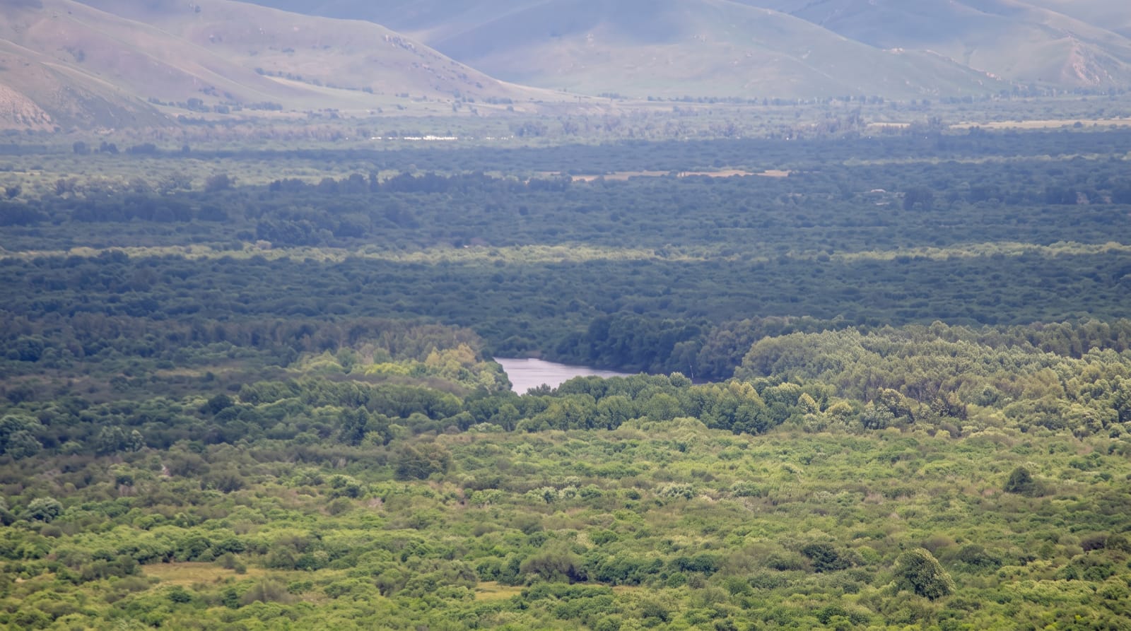
The Genhe river spreads across a broad floodplain outside Ergun into one of the largest wetland systems in China, a maze of channels, oxbows and willow islands that the viewing ridge above the town overlooks in a single sweep, with the water braiding across kilometres of grassland toward the Russian border. The area around Ergun holds the Chinese-Russian communities descended from marriages between Russian settlers and Chinese labourers in the early twentieth century, recognised as one of China's ethnic groups, whose villages such as Enhe keep timber Russian-style houses, bread ovens and traditions. Beyond, the road runs north into the Greater Khingan forest and the reindeer country at Aoluguya.
The landscape
- The wetland panorama - the braided river system from the ridge viewpoint.
- The willow islands - the wooded channels within the floodplain.
- The Russian villages - timber houses and traditions at Enhe and Shiwei.
- The border river - the Ergun marking the frontier with Russia.
When to go
June to September, when the wetland is green and the days long; the water is highest in summer. Autumn brings gold grass in September. Winter is severe, with the wetland frozen and villages snowbound.
Practical notes
The viewpoint is a ticketed scenic area with boardwalks and a shuttle up the ridge. Border areas require identification and some roads are restricted. Village accommodation is basic and heavily seasonal.
Nearby
Enhe and Shiwei lie north along the border; Hailar is south.
What to pack for Ergun Wetlands
Chosen from what this place is for. Tap a kit for the full checklist.
- Broken-in walking shoes or boots - Grip and ankle support matter more than looks; never hike in brand-new boots. Find on Amazon
- Layers + a waterproof shell - Mountain weather turns fast; a packable rain jacket saves the day. Find on Amazon
- Daypack with rain cover - 20-30 litres holds water, snacks, layers and a first-aid kit. Find on Amazon
- Offline maps + a power bank - Download the trail before you lose signal; carry backup charge. Find on Amazon
Some links on this page are Amazon affiliate links - if you buy through them we may earn a small commission at no extra cost to you.
All packing kitsPlan your trip
Where to start if Ergun Wetlands is going on the list.
Booking links on this page are affiliate links - if you book through them we may earn a small commission at no extra cost to you. It never changes what we write about a place.
Opening times, ticket prices and seasonal closures change - check the official source before you go: official site.


