Danxia Mountain
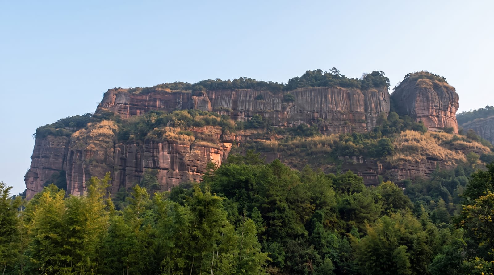
The mountain that gave its name to Danxia landform worldwide, red sandstone eroded into pillars, cliffs and domes.
Updated 14 October 2026
AI illustration
UNESCO World Heritage
Danxiashan is the type locality: the term Danxia landform, used internationally for red terrestrial sandstone eroded into cliffs, pillars and domes, was coined from this mountain in the 1920s and 1930s, and the site anchors the UNESCO China Danxia serial listing of 2010. Six hundred and eighty peaks and formations stand across the park, cut by the Jin river which is rafted through them. Two formations draw particular attention for their shapes, named the Yangyuan and Yinyuan stones, and the mountain is marketed heavily on them. Temples and cliff monasteries sit among the rocks, and cable cars reach the main viewpoints.
Highlights
- The red formations - pillars, domes and cliffs of the type-site Danxia.
- The Jin river rafting - bamboo rafts through the formations.
- The named stones - the Yangyuan and Yinyuan rocks the site is known for.
- The cliff temples - monasteries built into the rock faces.
When to go
October to April for the mildest weather; Guangdong summers are hot, humid and wet, with rafting suspended in flood. Sunrise from the upper viewpoints is the classic experience. Holidays bring heavy crowds.
Things to know
Entry plus cable car plus rafting adds up. The famous rock shapes are heavily promoted and can feel like the whole marketing of the site. Stairs are numerous and steep, and summer humidity makes climbing hard.
Nearby
Shaoguan lies southwest; Nanhua Temple is in the same district.
Key facts
Source: Wikidata, item Q1165197, read on 18 October 2026.
What to pack for Danxia Mountain
Chosen from what this place is for. Tap a kit for the full checklist.
- Broken-in walking shoes or boots - Grip and ankle support matter more than looks; never hike in brand-new boots. Find on Amazon
- Quick-dry clothing - Board shorts or synthetics that shrug off spray and dry fast. Find on Amazon
- Strong insect repellent - DEET or picaridin; the jungle is where bites and disease risk are highest. Find on Amazon
- Modest clothing - Shoulders and knees covered - the single most common requirement. Find on Amazon
Some links on this page are Amazon affiliate links - if you buy through them we may earn a small commission at no extra cost to you.
All packing kitsPlan your trip
Where to start if Danxia Mountain is going on the list.
Booking links on this page are affiliate links - if you book through them we may earn a small commission at no extra cost to you. It never changes what we write about a place.
Opening times, ticket prices and seasonal closures change - check the official source before you go: official site.