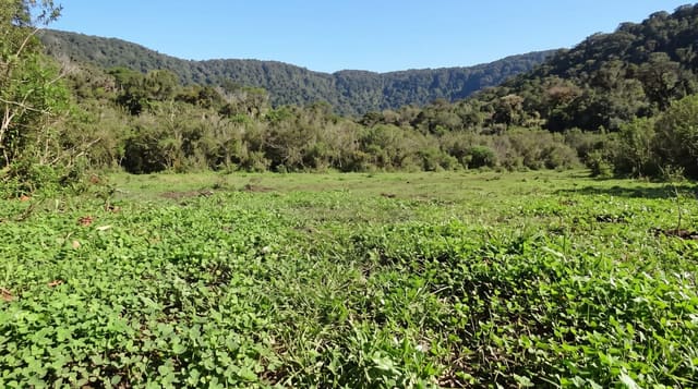
Laguna del Laja National Park
A lake dammed by lava under an active volcano, with a waterfall that a hydro scheme mostly switched off.
Updated 30 August 2026
The Laja lake was formed when lava from Antuco volcano blocked the valley, and the park around it is a landscape of black volcanic rock, scattered araucaria and the bare cone of Antuco at 2,979 metres, which last erupted in the nineteenth century and is still classed as active. The Salto de las Chilcas and Salto del Torbellino falls are on the Laja here - but the river's flow is largely diverted for hydroelectric generation, and the falls run at a fraction of what they were except when the system spills. A small ski centre operates on Antuco in winter. Condors are frequently seen over the ridges.
What's there
- A lake dammed by lava - blocked by flows from Antuco.
- The bare cone of Antuco - 2,979 metres, still classed active.
- Falls reduced by diversion - the Laja largely taken for hydro.
- Condors over the ridges - regularly seen from the trails.
When to go
December to March for walking; winter for the small ski area. A full day.
Things to know
The waterfalls are much reduced by the hydro diversion and can be nearly dry. The last road is gravel. Wind on the open volcanic ground is strong and there is no shade. Facilities are minimal.
Nearby
Los Angeles is west; Saltos del Laja are downstream on the same river.
Key facts
Source: Wikidata, item Q16911654, read on 18 October 2026.
What to pack for Laguna del Laja National Park
Chosen from what this place is for. Tap a kit for the full checklist.
- Broken-in walking shoes or boots - Grip and ankle support matter more than looks; never hike in brand-new boots. Find on Amazon
- Binoculars - The single best wildlife tool - even a compact pair transforms a sighting. Find on Amazon
- Layers + a waterproof shell - Mountain weather turns fast; a packable rain jacket saves the day. Find on Amazon
- A zoom camera or long lens - Animals rarely come close; reach beats megapixels. Find on Amazon
Some links on this page are Amazon affiliate links - if you buy through them we may earn a small commission at no extra cost to you.
All packing kitsPlan your trip
Where to start if Laguna del Laja National Park is going on the list.
Booking links on this page are affiliate links - if you book through them we may earn a small commission at no extra cost to you. It never changes what we write about a place.
Opening times, ticket prices and seasonal closures change - check the official source before you go: official site.