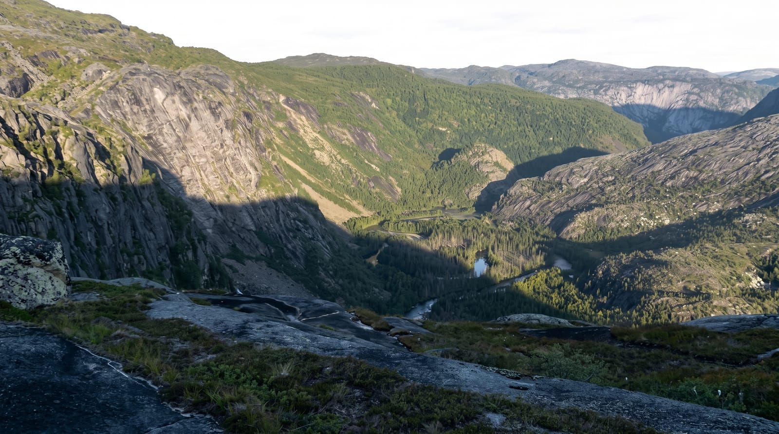
Alberto de Agostini National Park
Fjords and tidewater glaciers off the Darwin range, named for the Salesian priest who mapped them.
Updated 19 October 2026
The park covers the western part of Tierra del Fuego and the islands around it - about fifteen thousand square kilometres of fjord, glacier and mountain with no roads, no towns and no land access of any kind. The Cordillera Darwin runs through it, carrying an ice field of about 2,600 square kilometres that a 2013 study in The Cryosphere ranks as the third largest temperate ice field in the Southern Hemisphere, and glaciers come off it directly into the sea in the fjords of the Beagle Channel's northern arm, the group known as Glacier Alley. It is named for Alberto Maria De Agostini, an Italian Salesian priest who explored, climbed, photographed and mapped this country from 1910 onwards, and whose photographs are the record of what the glaciers were.
History
The Yaghan settled along these channels about 10,000 years ago, and Charles Darwin met Fuegian people in the Murray Channel, an encounter that mattered to his later thinking on human evolution. The park was created on 22 January 1965 from the former Hollanda forest reserve and part of Hernando de Magallanes National Park, named after the Salesian missionary, explorer and photographer Alberto Maria De Agostini, whose maps and photographs recorded the region; some parts, such as the Agostini Fjord, were found only in the last century, and in 2005 UNESCO made it, with Cabo de Hornos National Park, the Cabo de Hornos Biosphere Reserve (Wikipedia, Alberto de Agostini National Park).
The landscape
- Fifteen thousand square kilometres of fjord - with no road access at all.
- The Cordillera Darwin ice field - the third largest temperate one in the Southern Hemisphere.
- Glaciers into the sea - the Beagle Channel's Glacier Alley.
- A priest's survey from 1910 - De Agostini's maps and photographs.
When to go
December to March. Several days on a vessel.
Before you go
There is no way in except by ship, and those voyages are expensive and often rough. Weather in this region is among the worst anywhere - rain, wind and cancelled landings are normal. There are no facilities of any kind ashore.
Nearby
Puerto Williams is east; the Beagle Channel runs through the park.
Key facts
Source: Wikidata, item Q1759349, read on 18 October 2026.
What to pack for Alberto de Agostini National Park
Chosen from what this place is for. Tap a kit for the full checklist.
- Broken-in walking shoes or boots - Grip and ankle support matter more than looks; never hike in brand-new boots. Find on Amazon
- Binoculars - The single best wildlife tool - even a compact pair transforms a sighting. Find on Amazon
- Warm base layers - Merino or synthetic against the skin - never cotton, which chills when damp. Find on Amazon
- Layers + a waterproof shell - Mountain weather turns fast; a packable rain jacket saves the day. Find on Amazon
Some links on this page are Amazon affiliate links - if you buy through them we may earn a small commission at no extra cost to you.
All packing kitsPlan your trip
Where to start if Alberto de Agostini National Park is going on the list.
Booking links on this page are affiliate links - if you book through them we may earn a small commission at no extra cost to you. It never changes what we write about a place.
Opening times, ticket prices and seasonal closures change - check the official source before you go: official site.