The Tibesti Mountains
The Sahara's rooftop - Emi Koussi's 3,415-metre volcano crowning a range of craters, canyons and Toubou strongholds at expedition's far edge.
Updated 19 October 2026
AI illustration
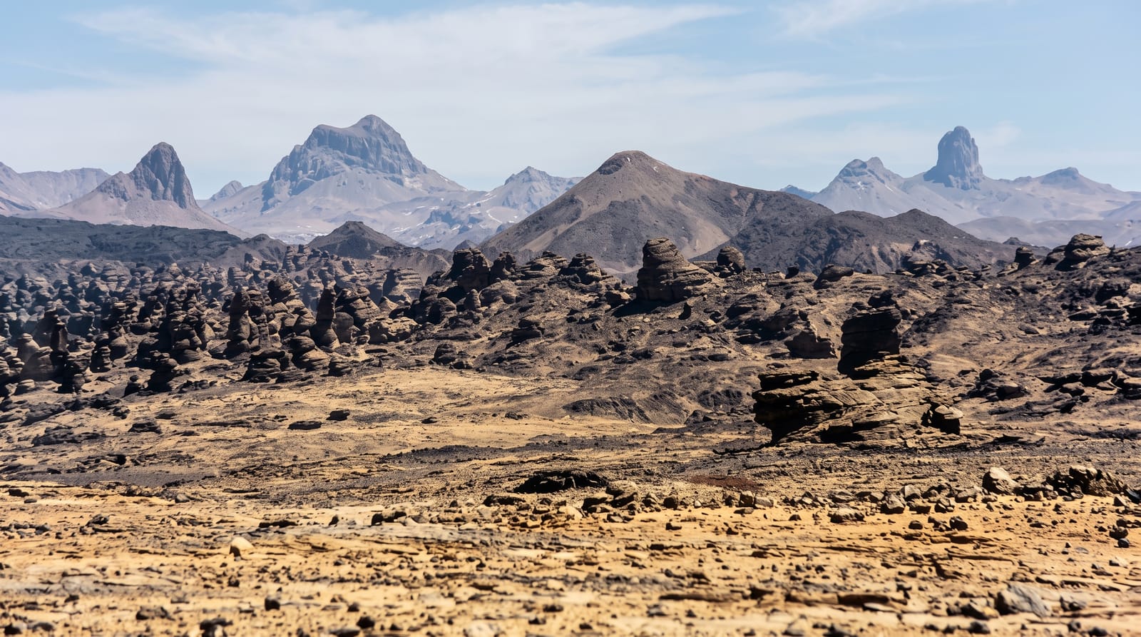
The Tibesti is the Sahara at maximum: a volcanic massif rising to Emi Koussi's 3,415 metres - the desert's highest point - across a wilderness of calderas, black lava fields, white natron craters and canyons where the Toubou people have herded and guarded their strongholds for millennia. Trou au Natron's ice-white pit, hot springs steaming at Yi Yerra, rock art in the wadis and Bardai's oasis punctuate journeys that rank among the last true expeditions in accessible travel - specialist-run, self-sufficient convoys crossing country that maps still sketch loosely. For desert travellers it is the summit ambition, in both senses.
History
People have lived in the Tibesti since the Stone Age, when the vegetation was denser, and the Toubou were settled here by the 5th century BC, trading with Carthage; Herodotus wrote of them and of their conflicts with the Garamantes of present-day Libya. Between AD 83 and 92 the Roman traveller Julius Maternus crossed the region with the Garamantian king, al-Idrisi described its people in the 12th century and Ibn Khaldun in the 14th, and the Toubou clans settled the massif in several waves, the Teda first around Enneri Bardagué and later Daza clans between the 15th and 18th centuries (Wikipedia, Tibesti Mountains).
What's there
- Emi Koussi - the Sahara's 3,415-metre crown caldera.
- Trou au Natron - the white-floored volcanic pit.
- The Toubou country - oasis villages and herding strongholds.
- The wadi rock art - millennia of images in the canyons.
When to go
November to February only - the cool season is the expedition window; everything else is logistics, arranged months ahead with the few specialist operators who run the massif.
Practical notes
This is the hardest travel on the continent's menu: go only with specialist operators and Toubou guides, and accept costs and uncertainties scaled to the remoteness. The reward is the Sahara's absolute masterpiece with almost no witnesses.
Nearby
Bardai's oasis, and the long pistes toward Faya and the Ennedi.
Key facts
Source: Wikidata, item Q309104, read on 18 October 2026.
What to pack for The Tibesti Mountains
Chosen from what this place is for. Tap a kit for the full checklist.
- Broken-in walking shoes or boots - Grip and ankle support matter more than looks; never hike in brand-new boots. Find on Amazon
- Loose, light, long clothing - Covering up beats bare skin in the desert - and locals dress this way for a reason. Find on Amazon
- Layers for big temperature swings - Warm sun by day, near-freezing at night, even near the equator. Find on Amazon
- Shelter suited to the place - Tent, tarp or hut booking - match it to the terrain and rules. Find on Amazon
Some links on this page are Amazon affiliate links - if you buy through them we may earn a small commission at no extra cost to you.
All packing kitsPlan your trip
Where to start if The Tibesti Mountains is going on the list.
Booking links on this page are affiliate links - if you book through them we may earn a small commission at no extra cost to you. It never changes what we write about a place.
Opening times, ticket prices and seasonal closures change - check the official source before you go: official site.