Pukaskwa National Park
The wildest stretch of Lake Superior shore, with a coastal route that takes about a week to walk.
Updated 12 October 2026
AI illustration
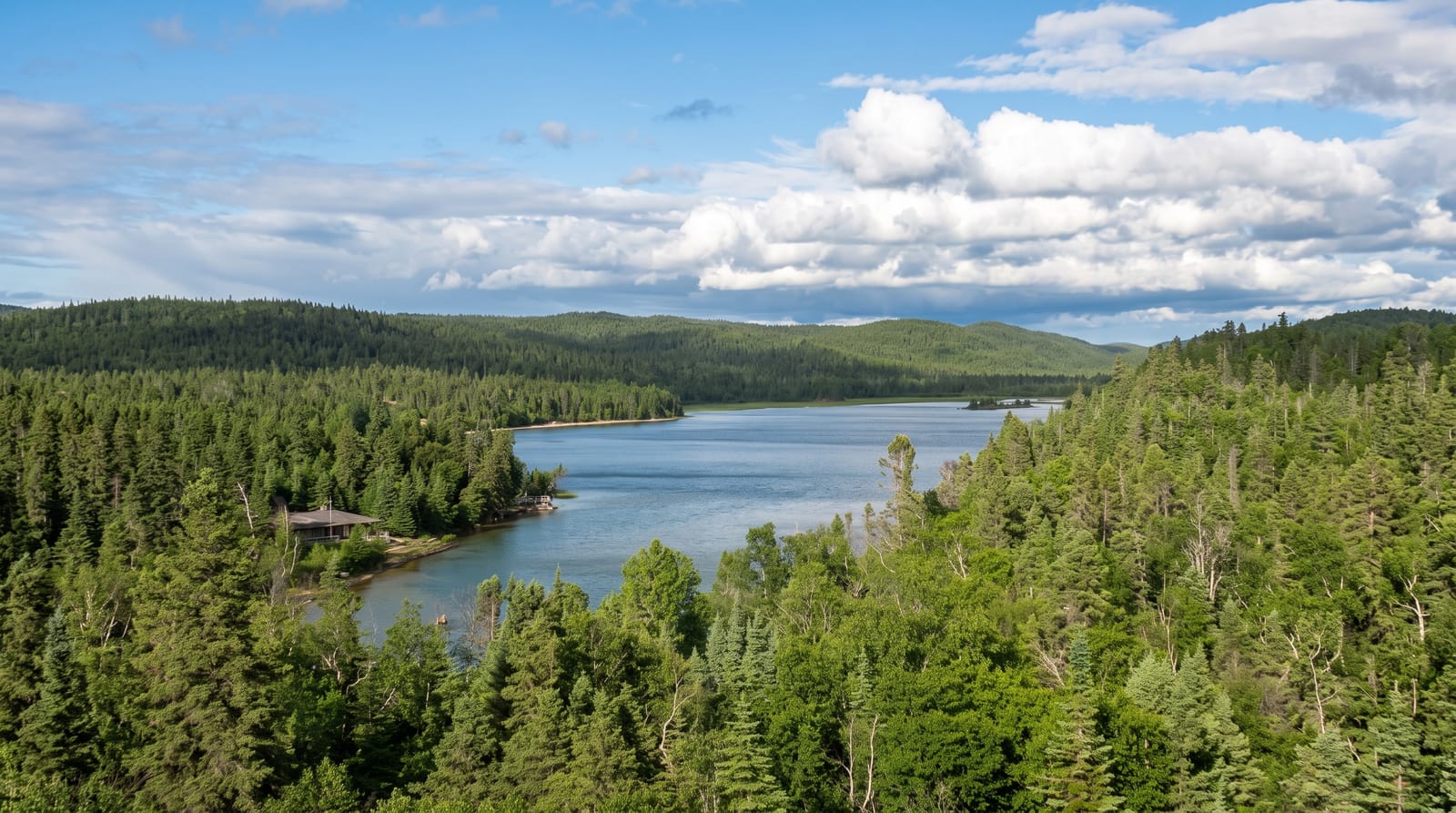
Pukaskwa protects around eighteen hundred square kilometres of Lake Superior shore, the largest undeveloped stretch on the lake, with granite headlands, cobble beaches and boreal forest. The Coastal Hiking Trail runs about sixty kilometres south from Hattie Cove and takes six to nine days, with no resupply and a reputation as one of the harder routes in Ontario; most visitors instead walk the Southern Headland trail and the White River suspension bridge, which hangs twenty-three metres above Chigamiwinigum Falls. Pukaskwa Pits, stone structures built on the cobble beaches by Anishinaabe people, are found along the shore and their purpose is not settled.
What's there
- The suspension bridge - a footbridge twenty-three metres above the White River falls.
- The Coastal Trail - sixty kilometres of demanding shore route.
- The Pukaskwa Pits - stone structures on cobble beaches of uncertain purpose.
- The Superior shore - the largest undeveloped stretch on the lake.
When to go
July to September; Superior stays cold all year and hypothermia is a real risk on the water. The park largely closes in winter. Blackflies are severe in June.
Things to know
The Coastal Trail is a serious multi-day route with no exits and slow rescue. Lake Superior is cold enough to be dangerous year-round. Services are minimal and Marathon is the nearest town.
Nearby
Lake Superior Provincial Park lies southeast; Marathon is the gateway.
Key facts
Source: Wikidata, item Q283482, read on 18 October 2026.
What to pack for Pukaskwa National Park
Chosen from what this place is for. Tap a kit for the full checklist.
- Broken-in walking shoes or boots - Grip and ankle support matter more than looks; never hike in brand-new boots. Find on Amazon
- Reef-safe sunscreen - High SPF that will not bleach the coral you are swimming over. Find on Amazon
- Binoculars - The single best wildlife tool - even a compact pair transforms a sighting. Find on Amazon
- Layers + a waterproof shell - Mountain weather turns fast; a packable rain jacket saves the day. Find on Amazon
Some links on this page are Amazon affiliate links - if you buy through them we may earn a small commission at no extra cost to you.
All packing kitsPlan your trip
Where to start if Pukaskwa National Park is going on the list.
Booking links on this page are affiliate links - if you book through them we may earn a small commission at no extra cost to you. It never changes what we write about a place.
Opening times, ticket prices and seasonal closures change - check the official source before you go: official site.