Lake of the Woods
A lake with over fourteen thousand islands and a shoreline longer than Lake Superior's.
Updated 4 September 2026
AI illustration
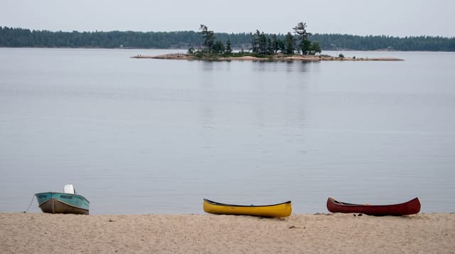
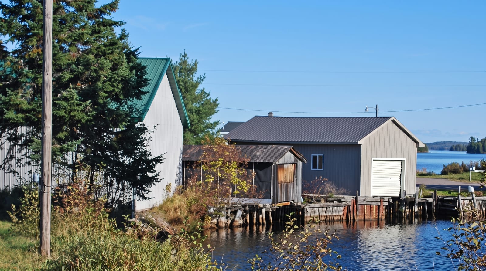
Lake of the Woods holds more than fourteen thousand islands and about one hundred and five thousand kilometres of shoreline, more than Lake Superior despite being a fraction of the size, because the Shield broke the lake into an extraordinarily complex maze of channels and bays. It straddles Ontario, Manitoba and Minnesota. The Northwest Angle, a piece of Minnesota reachable by land only through Canada, exists because of a surveying error in the 1783 treaty that assumed the Mississippi rose further north than it does. The lake is a major walleye and muskellunge fishery, and Kenora is the main town.
What you'll find
- The island maze - over fourteen thousand islands in interlocking channels.
- The Northwest Angle - a piece of the United States accessible only through Canada.
- The fishery - walleye and muskie water with a long guiding tradition.
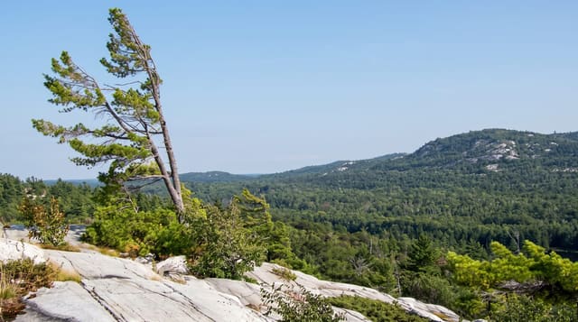
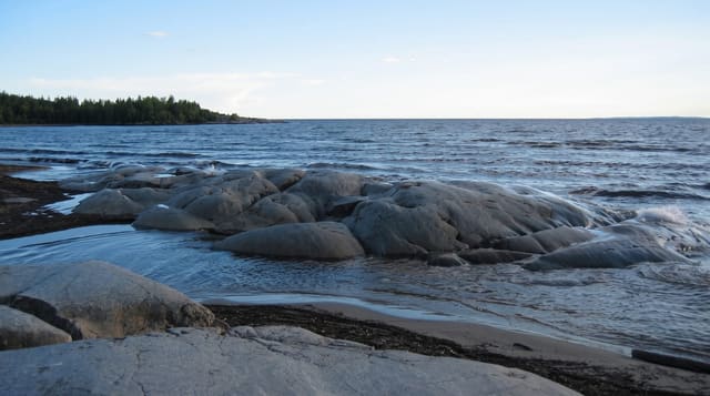
- The Shield shoreline - granite, pine and endless bays.
When to go
June to September for boating and fishing; the lake freezes solid in winter and ice roads and fishing huts appear. Blackflies are heavy in June. Autumn colour is good.
Good to know
Navigating the island maze is genuinely difficult and boats get lost; charts and GPS matter. Weather makes the open sections rough quickly. Lodges are remote and book ahead.
Nearby
Kenora is the main town; Quetico lies east.
Key facts
Source: Wikidata, item Q845876, read on 18 October 2026.
What to pack for Lake of the Woods
Chosen from what this place is for. Tap a kit for the full checklist.
- Travel rod + reel - A packable multi-piece rod fits in a case and covers most holiday fishing. Find on Amazon
- Reef-safe sunscreen - High SPF that will not bleach the coral you are swimming over. Find on Amazon
- Shelter suited to the place - Tent, tarp or hut booking - match it to the terrain and rules. Find on Amazon
- A small tackle selection - Hooks, weights, line and a few lures or flies suited to local waters. Find on Amazon
Some links on this page are Amazon affiliate links - if you buy through them we may earn a small commission at no extra cost to you.
All packing kitsPlan your trip
Where to start if Lake of the Woods is going on the list.
Booking links on this page are affiliate links - if you book through them we may earn a small commission at no extra cost to you. It never changes what we write about a place.
Opening times, ticket prices and seasonal closures change - check the official source before you go: official site.