Lake Superior Provincial Park
A Superior shore park holding Agawa Rock, where ochre paintings of a horned lynx sit at the waterline.
Updated 19 October 2026
AI illustration
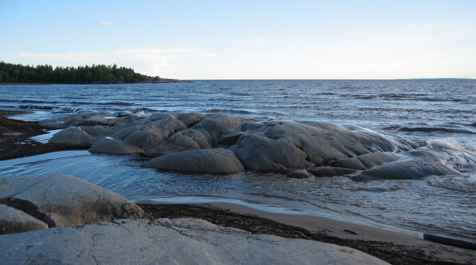
The park runs about eighty kilometres along Lake Superior with the highway threading between the shore and the hills, giving one of the best coastal drives in the country. Old Woman Bay is the signature stop, a crescent of cobble under a two-hundred-metre cliff. Agawa Rock carries Ojibwe pictographs painted in red ochre on a vertical face at the waterline, including Misshepezhieu, a horned underwater lynx; reaching them means a short but genuinely awkward scramble onto a sloping ledge above deep cold water, and the site closes when the lake is rough. The paintings are estimated at a few hundred years old.
History
People of various cultures lived in this area for more than 2000 years, the oldest artefacts dating to about 500 BC, and the Ojibwe painted the pictographs at Agawa Rock with powdered hematite and animal fat some 150 to 400 years ago. The American ethnologist Henry Rowe Schoolcraft published the first written description of them in 1851, and when Ontario established the park in 1944 there was no road access; Highway 17 now runs through it (Wikipedia, Lake Superior Provincial Park).
What you'll find
- The Agawa pictographs - ochre paintings including the horned water lynx.
- Old Woman Bay - a cobble crescent under a two-hundred-metre cliff.
- The coastal highway - Highway 17 running between shore and hills.
- The inland lakes - canoe routes and waterfalls behind the shore.
When to go
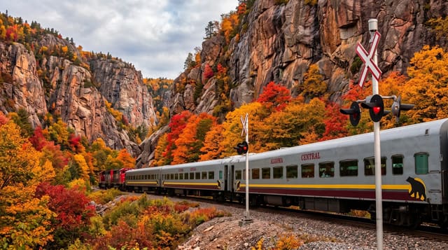
June to September; the Agawa Rock ledge closes in wind and high water, which is common. Autumn colour along the highway is exceptional. The park closes for winter.
Before you go
The pictograph ledge is slippery, sloping and directly above deep cold water; people have gone in. It closes without notice in rough conditions. Superior weather changes fast.
Nearby
The Agawa Canyon train runs from Sault Ste. Marie; Pukaskwa lies northwest.
Key facts
Source: Wikidata, item Q3364745, read on 18 October 2026.
What to pack for Lake Superior Provincial Park
Chosen from what this place is for. Tap a kit for the full checklist.
- Broken-in walking shoes or boots - Grip and ankle support matter more than looks; never hike in brand-new boots. Find on Amazon
- Quick-dry clothing - Board shorts or synthetics that shrug off spray and dry fast. Find on Amazon
- Layers + a waterproof shell - Mountain weather turns fast; a packable rain jacket saves the day. Find on Amazon
- Secure water shoes or reef boots - Grip on slippery launches and protection on rocky shores. Find on Amazon
Some links on this page are Amazon affiliate links - if you buy through them we may earn a small commission at no extra cost to you.
All packing kitsPlan your trip
Where to start if Lake Superior Provincial Park is going on the list.
Booking links on this page are affiliate links - if you book through them we may earn a small commission at no extra cost to you. It never changes what we write about a place.
Opening times, ticket prices and seasonal closures change - check the official source before you go: official site.