Grand Canyon of the Stikine
Seventy kilometres of canyon up to three hundred metres deep, narrowing in places to two metres wide.
Updated 21 October 2026
AI illustration
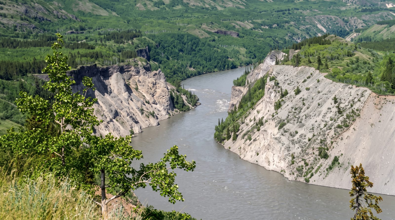
The Stikine cuts about seventy kilometres of canyon through volcanic rock with walls up to three hundred metres, and in places the gap narrows to around two metres across, which means the entire river passes through a slot you could nearly jump. It is one of the few major river canyons in North America that has never been commercially rafted; the first attempt came in 1981 and the run remains an expedition for expert kayakers. For everyone else the canyon is seen from viewpoints reached by rough tracks off the Cassiar Highway. Stone sheep and mountain goats live on the walls.
Highlights
- The narrows - a full river forced through gaps of a few metres.
- The volcanic walls - three hundred metres of layered rock above the water.
- The viewpoints - rough tracks off Highway 37 to the rim.
- The wildlife - stone sheep and goats on the canyon walls.
When to go
July to September; the Cassiar Highway and the access tracks are difficult outside summer. Even in season the tracks are rough and often need high clearance.
Things to know
There is no developed access, no signage and no facilities; finding the viewpoints takes local directions. Descending into the canyon is expedition kayaking for experts only. The nearest services are far apart.
Nearby
Dease Lake lies north; Mount Edziza is south.
Key facts
Source: Wikidata, item Q5594375, read on 18 October 2026.
What to pack for Grand Canyon of the Stikine
Chosen from what this place is for. Tap a kit for the full checklist.
- Broken-in walking shoes or boots - Grip and ankle support matter more than looks; never hike in brand-new boots. Find on Amazon
- Quick-dry clothing - Board shorts or synthetics that shrug off spray and dry fast. Find on Amazon
- Binoculars - The single best wildlife tool - even a compact pair transforms a sighting. Find on Amazon
- Shelter suited to the place - Tent, tarp or hut booking - match it to the terrain and rules. Find on Amazon
Some links on this page are Amazon affiliate links - if you buy through them we may earn a small commission at no extra cost to you.
All packing kitsPlan your trip
Where to start if Grand Canyon of the Stikine is going on the list.
Booking links on this page are affiliate links - if you book through them we may earn a small commission at no extra cost to you. It never changes what we write about a place.
Opening times, ticket prices and seasonal closures change - check the official source before you go: official site.