Cowboy Trail
Highway 22 running the foothills from Mexico-bound ranch country with the Rockies on one side the whole way.
Updated 4 September 2026
AI illustration
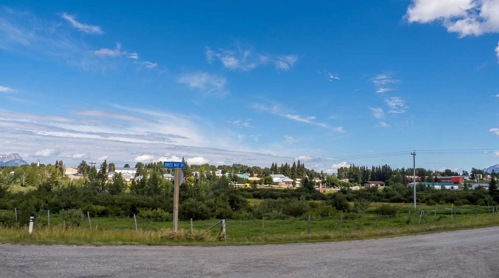
Highway 22 runs about seven hundred kilometres north to south along the eastern foothills, and it was branded the Cowboy Trail in 2001 because the country it crosses is still working ranch land rather than a theme: cattle, horses, grain elevators, small towns and the Rockies forming a wall to the west for the whole route. Longview, Black Diamond and Turner Valley string along the southern half, with Bar U Ranch and Chain Lakes on the way. Turner Valley was the site of Canada's first significant oil discovery in 1914. The southern section around Pincher Creek carries one of the largest wind farms in the country.
What you'll find
- The foothills ranch country - working cattle operations rather than a display.
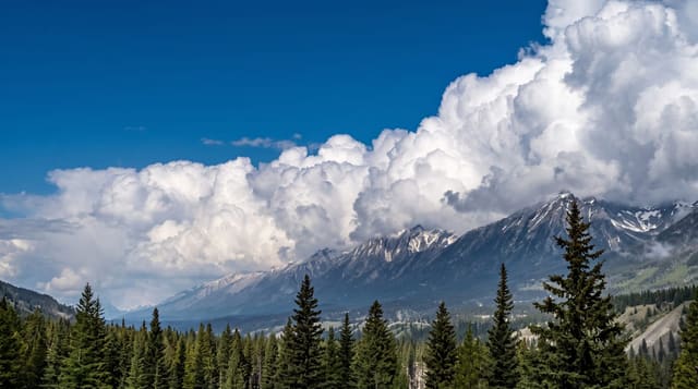
- The mountain wall - the Rockies on the western horizon for the full route.
- The oil history - Turner Valley, where Canadian oil production began in 1914.
- The wind farms - turbine arrays on the windy southern foothills.
When to go
May to October; the road is open year-round but winter brings ground blizzards and chinook ice. Autumn colour in the aspen along the foothills is good. Spring is muddy and grey.
Before you go
It is a drive rather than a set of attractions, and the appeal is scenery and small towns. Services are spread out. Chinook winds can be strong enough to make driving high-sided vehicles difficult.
Nearby
Bar U Ranch is on the route; Kananaskis lies west.
What to pack for Cowboy Trail
Chosen from what this place is for. Tap a kit for the full checklist.
- Broken-in walking shoes or boots - Grip and ankle support matter more than looks; never hike in brand-new boots. Find on Amazon
- Comfortable walking shoes - Sightseeing means kilometres of pavement and cobbles daily. Find on Amazon
- Layers + a waterproof shell - Mountain weather turns fast; a packable rain jacket saves the day. Find on Amazon
- A slim anti-theft daypack - Zips that close properly; keep it in front in crowds and on transit. Find on Amazon
Some links on this page are Amazon affiliate links - if you buy through them we may earn a small commission at no extra cost to you.
All packing kitsPlan your trip
Where to start if Cowboy Trail is going on the list.
Booking links on this page are affiliate links - if you book through them we may earn a small commission at no extra cost to you. It never changes what we write about a place.
Opening times, ticket prices and seasonal closures change - check the official source before you go: official site.