Alexandra Falls
A thirty-two metre fall over a limestone lip, the first of the Twin Falls of the Hay River.
Updated 21 October 2026
AI illustration
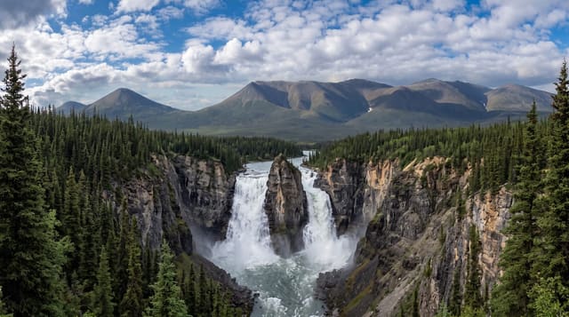
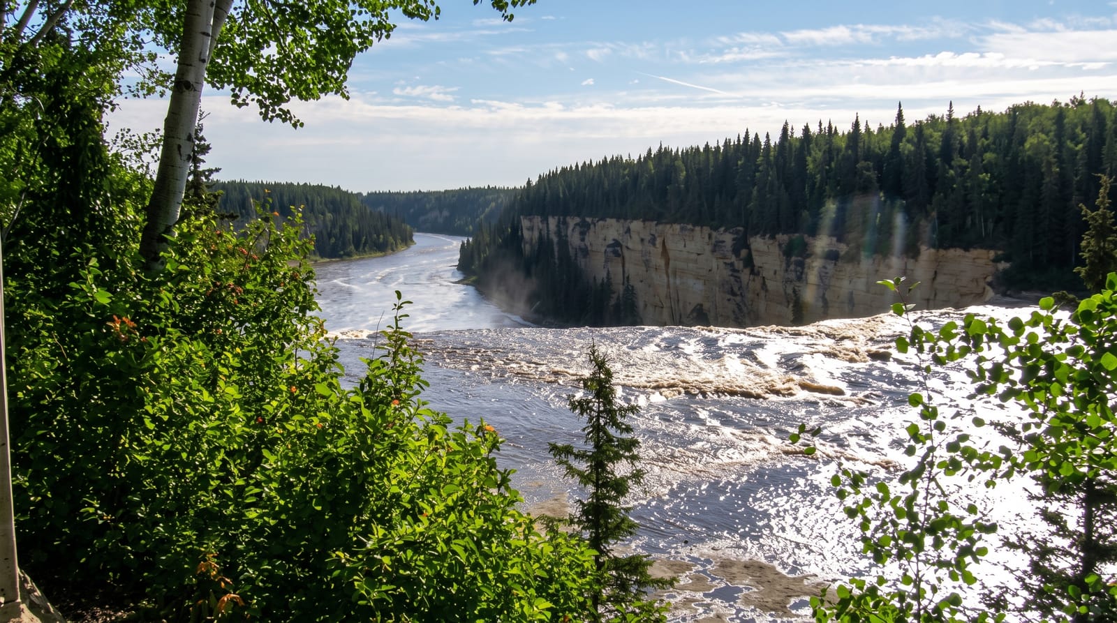
The Hay River drops about thirty-two metres at Alexandra Falls over a lip of Devonian limestone, and a second fall, Louise Falls at about fifteen metres, lies downstream; a gorge trail of about three kilometres connects them along the rim. The rock is full of marine fossils from a warm sea that covered this ground around three hundred and eighty million years ago. Dene tradition tells of the two falls as two spirits, Grandmother and Grandfather, who protect the area. A spiral staircase descends at Louise Falls to the gorge floor. The falls are at their most powerful during the May melt when the whole northern spring runoff comes down at once.
Highlights
- The thirty-two metre drop - the main fall over a limestone lip.
- Louise Falls - a second fall downstream with a spiral staircase to the base.
- The gorge trail - a rim path connecting the two falls.
- The Devonian fossils - marine fossils in the exposed limestone.
When to go
May for the peak melt flow; June to September for the trails and facilities. The park closes for winter, when the falls freeze into ice formations visible from the rim.
What to expect
The park facilities are seasonal and the site closes in winter. Mosquitoes in early summer are severe. The gorge staircase is steep.
Nearby
Hay River lies northeast; the Alberta border is south.
Key facts
Source: Wikidata, item Q37396, read on 18 October 2026.
What to pack for Alexandra Falls
Chosen from what this place is for. Tap a kit for the full checklist.
- Broken-in walking shoes or boots - Grip and ankle support matter more than looks; never hike in brand-new boots. Find on Amazon
- Layers + a waterproof shell - Mountain weather turns fast; a packable rain jacket saves the day. Find on Amazon
- Daypack with rain cover - 20-30 litres holds water, snacks, layers and a first-aid kit. Find on Amazon
- Offline maps + a power bank - Download the trail before you lose signal; carry backup charge. Find on Amazon
Some links on this page are Amazon affiliate links - if you buy through them we may earn a small commission at no extra cost to you.
All packing kitsPlan your trip
Where to start if Alexandra Falls is going on the list.
Booking links on this page are affiliate links - if you book through them we may earn a small commission at no extra cost to you. It never changes what we write about a place.
Opening times, ticket prices and seasonal closures change - check the official source before you go: official site.