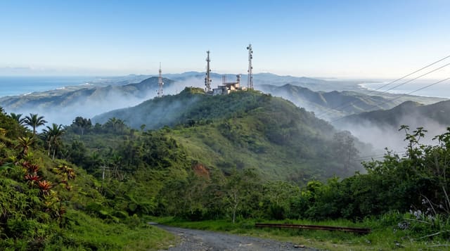
Mount Mbapit
A volcanic cone north of Foumban with a small crater lake at the summit.
Updated 13 September 2026
Mbapit is a young volcanic cone rising out of the plateau north of Foumban, a symmetrical hill of around nineteen hundred metres with a crater at the top holding a small lake, and the climb from the villages at its base takes a couple of hours through grassland and scattered trees. From the rim the country falls away in every direction across the Noun plain, with other cones and lava flows visible on the same plateau, and the lake sits in the bowl below. The mountain has traditional significance for the communities around it and guides come from the villages. It is one of the more approachable of the volcanic features of the western highlands.
Highlights
- A crater lake at the summit - water in the bowl at the top.
- A symmetrical volcanic cone - the young shape of the hill.
- Views across the Noun plain - the plateau and other cones.
- Village guides on the climb - the routes up from the base.
When to go
November to February, once the rains have gone. A day. The climb takes two to three hours each way and is unshaded. Guides are arranged in the villages at the base.
What to expect
The climb is hot with no shade or water on the route. There are no facilities. Access requires arranging a guide locally rather than turning up. The crater lake is small and shallow.
Nearby
Foumban is south; Magba lies north.
What to pack for Mount Mbapit
Chosen from what this place is for. Tap a kit for the full checklist.
- Broken-in walking shoes or boots - Grip and ankle support matter more than looks; never hike in brand-new boots. Find on Amazon
- Layers for big temperature swings - Warm sun by day, near-freezing at night, even near the equator. Find on Amazon
- Layers + a waterproof shell - Mountain weather turns fast; a packable rain jacket saves the day. Find on Amazon
- Extra-strong sun protection - Thin air means fierce UV; hat, sunglasses and high-SPF sunscreen. Find on Amazon
Some links on this page are Amazon affiliate links - if you buy through them we may earn a small commission at no extra cost to you.
All packing kitsPlan your trip
Where to start if Mount Mbapit is going on the list.
Booking links on this page are affiliate links - if you book through them we may earn a small commission at no extra cost to you. It never changes what we write about a place.
Opening times, ticket prices and seasonal closures change - check the official source before you go: official site.