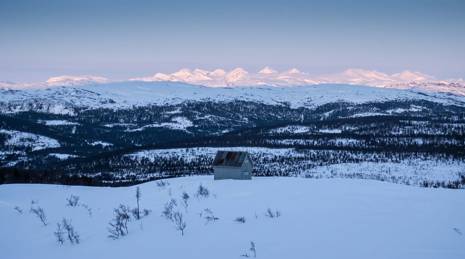
Prenj
A jagged limestone massif above the Neretva, the roughest walking country in the country and largely trackless.
Updated 18 October 2026
Prenj rises between Konjic and Mostar above the Neretva, a limestone massif with a dozen summits over two thousand metres, the highest Zelena glava at about 2,100, and it is the most serious mountain country in Bosnia and Herzegovina: sharp karst ridges, deep dry valleys, almost no surface water, and a reputation among walkers that has given it the local name of the Herzegovinian Himalaya. Chamois and brown bear live on it. Huts at Jezerca and elsewhere provide bases and marked routes link them, but the terrain punishes navigation errors, water must be carried or found at rare sources, and mines from the 1990s remain a documented hazard on some approaches, so local advice and marked paths matter.
Highlights
- The summit ridges - the karst crests above two thousand metres.
- Dry valleys - the waterless limestone basins between the ridges.
- Chamois - the herds on the upper slopes.
- The Neretva below - the river valley the massif rises from.
When to go
June to September, when the routes are clear of snow and the huts are staffed; the massif holds snow into early summer. Nights are cold at altitude. Water sources are scarce and unreliable in late summer.
Practical notes
This is demanding, waterless karst terrain with limited marking and no easy escape routes. Mines from the 1990s remain on some approaches and staying on marked paths is essential. Weather changes fast. A guide or local advice is strongly advised.
Nearby
Boracko lake lies below to the east; Blidinje is west.
Key facts
Source: Wikidata, item Q1276211, read on 18 October 2026.
What to pack for Prenj
Chosen from what this place is for. Tap a kit for the full checklist.
- Broken-in walking shoes or boots - Grip and ankle support matter more than looks; never hike in brand-new boots. Find on Amazon
- Warm base layers - Merino or synthetic against the skin - never cotton, which chills when damp. Find on Amazon
- Shelter suited to the place - Tent, tarp or hut booking - match it to the terrain and rules. Find on Amazon
- Layers + a waterproof shell - Mountain weather turns fast; a packable rain jacket saves the day. Find on Amazon
Some links on this page are Amazon affiliate links - if you buy through them we may earn a small commission at no extra cost to you.
All packing kitsPlan your trip
Where to start if Prenj is going on the list.
Booking links on this page are affiliate links - if you book through them we may earn a small commission at no extra cost to you. It never changes what we write about a place.
Opening times, ticket prices and seasonal closures change - check the official source before you go: official site.