Santiago de Chiquitos
A cool mission village on a sandstone ridge in far eastern Bolivia, with canyon viewpoints above the plain.
Updated 18 October 2026
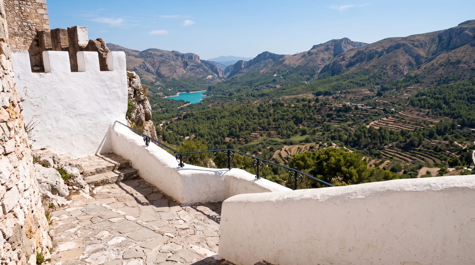
Santiago de Chiquitos sits at around nine hundred metres on a sandstone ridge above the eastern plain, which makes it noticeably cooler than the lowlands around and gives it the reputation of a hill station in a very hot region. The mission church on the plaza, founded in the eighteenth century and rebuilt, is simpler than the inscribed six but belongs to the same tradition. What people come for now is the country behind: sandstone escarpments cut by canyons, with viewpoints such as El Mirador and the Arco de Piedra reached on walks of one to four hours, thermal springs at Aguas Calientes nearby, and forest holding a strong bird list. The village is small, quiet and has a handful of guesthouses.
History
The Jesuit mission of Santiago de Chiquitos, one of the Jesuit missions of the Chiquitos, was founded in 1754 by the missionaries Gaspar Troncoso and Gaspar Campos (Wikipedia, Santiago de Chiquitos).
What's there
- Escarpment viewpoints - overlooks across the plain from the sandstone rim.
- The stone arch - the natural rock arch reached on a walk from the village.
- The mission church - the eighteenth-century foundation on the plaza.
- Cool ridge air - the altitude relief from the surrounding lowland heat.
When to go
April to October, the dry season, for the walks; the wet months bring mud and cloud. Cold surazo fronts can arrive in winter. Mornings are best for both walking and birds.
Good to know
Guides are needed for the longer walks as trails are unmarked. The village is remote, several hours east of Santa Cruz, with limited food and accommodation. There is no ATM. The heat below the ridge is significant even if the village is cooler.
Nearby
Roboré lies west; Chochís is further west along the railway.
Key facts
Source: Wikidata, item Q2223533, read on 18 October 2026.
What to pack for Santiago de Chiquitos
Chosen from what this place is for. Tap a kit for the full checklist.
- Comfortable walking shoes - Sightseeing means kilometres of pavement and cobbles daily. Find on Amazon
- Swimwear - Needed at most public thermal pools; some traditional baths are nude and single-sex. Find on Amazon
- A slim anti-theft daypack - Zips that close properly; keep it in front in crowds and on transit. Find on Amazon
- Quick-dry towel + flip-flops - For wet changing areas and hot poolside stone. Find on Amazon
Some links on this page are Amazon affiliate links - if you buy through them we may earn a small commission at no extra cost to you.
All packing kitsPlan your trip
Where to start if Santiago de Chiquitos is going on the list.
Booking links on this page are affiliate links - if you book through them we may earn a small commission at no extra cost to you. It never changes what we write about a place.
Opening times, ticket prices and seasonal closures change - check the official source before you go: official site.