Hog Bay Park
A park of old farmland and woodland in Sandys, with a tidal flat exposed at low water.
Updated 2 September 2026
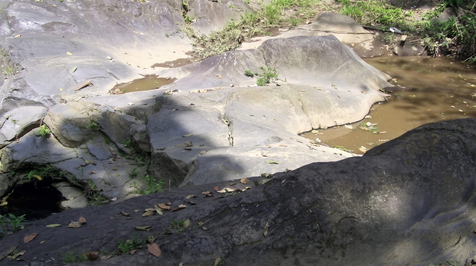
Hog Bay Park covers around fifteen hectares of the western end of Bermuda that was farmed until recently, with old field walls, a lime kiln and arrowroot terraces among the regrowing woodland, and paths running down to the shore. At low tide a wide flat is exposed in the bay, walkable a long way out, which is unusual on an island of deep water and reef. Bermuda cedar and palmetto have been replanted through the park.
What you'll find
- The tidal flat - the wide shallows exposed at low water in the bay.
- The old farmland - field walls, terraces and a lime kiln among the regrowth.
- The replanted natives - Bermuda cedar and palmetto put back through the park.
- The shore paths - the routes down to the water from the higher ground.
When to go
March to November is the most comfortable. Low tide is needed for the flat. Hurricane season runs June to November.
Things to know
The flat is only walkable at low tide and the timing matters. Paths are unmarked in places. Facilities amount to a car park.
Nearby
Somerset Bridge is north, and Fort Scaur is beyond it.
What to pack for Hog Bay Park
Chosen from what this place is for. Tap a kit for the full checklist.
- Broken-in walking shoes or boots - Grip and ankle support matter more than looks; never hike in brand-new boots. Find on Amazon
- Layers + a waterproof shell - Mountain weather turns fast; a packable rain jacket saves the day. Find on Amazon
- Daypack with rain cover - 20-30 litres holds water, snacks, layers and a first-aid kit. Find on Amazon
- Offline maps + a power bank - Download the trail before you lose signal; carry backup charge. Find on Amazon
Some links on this page are Amazon affiliate links - if you buy through them we may earn a small commission at no extra cost to you.
All packing kitsPlan your trip
Where to start if Hog Bay Park is going on the list.
Booking links on this page are affiliate links - if you book through them we may earn a small commission at no extra cost to you. It never changes what we write about a place.
Opening times, ticket prices and seasonal closures change - check the official source before you go: official site.