Turneffe Atoll
The largest of the three Belizean atolls, a mangrove archipelago of some two hundred cayes and the country's biggest marine reserve.
Updated 18 October 2026
AI illustration
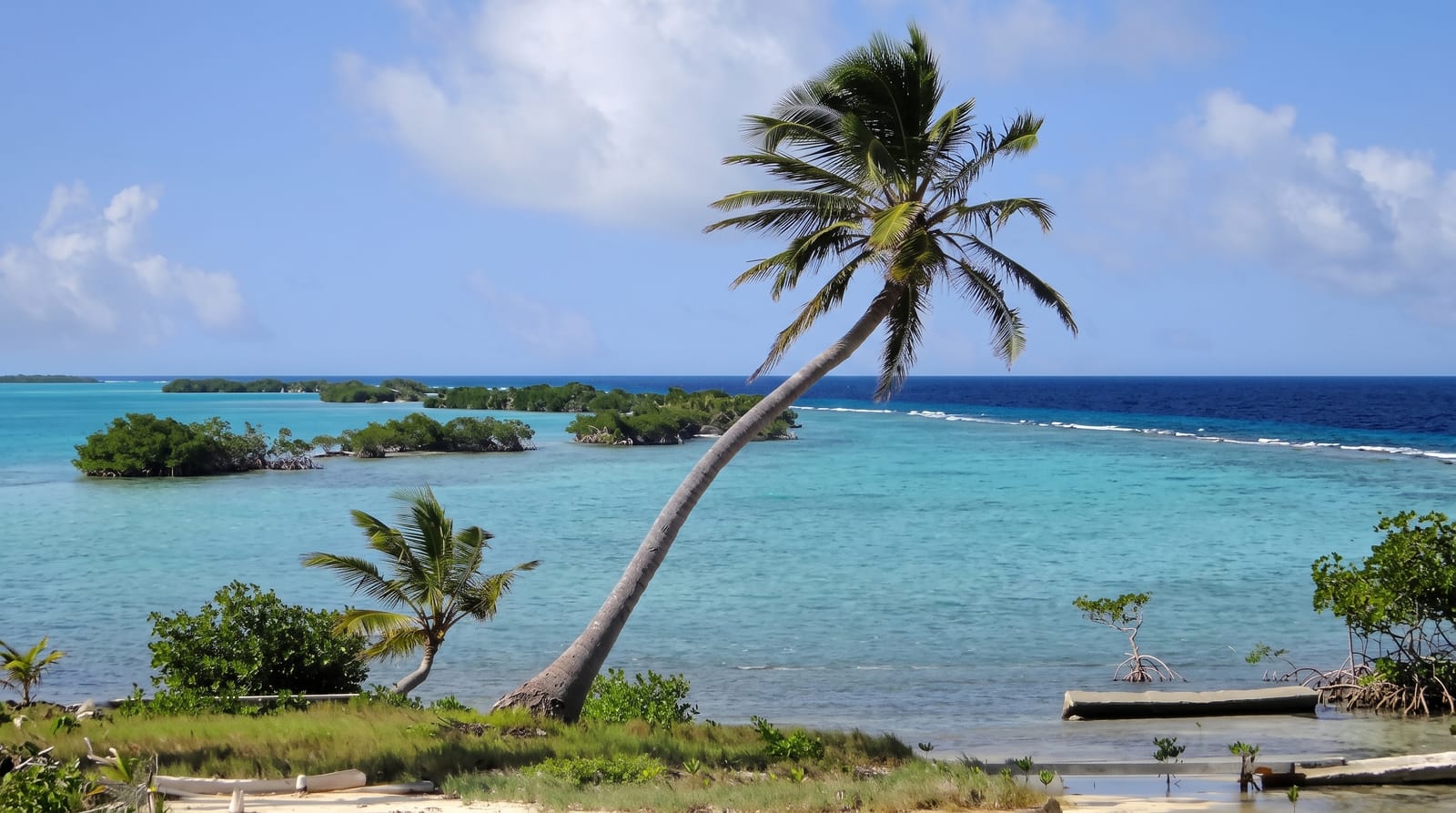
Turneffe is around fifty kilometres long and made up of something like two hundred low mangrove cayes around a shallow interior lagoon, which makes it quite unlike the sand-and-palm image of an atoll. It became Belize's largest marine reserve in 2012 after a long campaign. The mangroves are a nursery for the whole reef system, the flats inside hold bonefish, permit and tarpon in numbers that made this a fly-fishing destination decades ago, and the outside edge drops into wall diving, with the Elbow at the southern tip a well-known spot where currents concentrate large pelagics.
History
The pirate Blackbeard, Edward Teach, spent the winter of 1717-1718 harassing ships in the Bay of Honduras, and between 4 and 5 April 1718 at Turneffe he captured the logwood sloop Adventure, forced its captain David Herriot to join him and made Israel Hands its captain before sailing for North Carolina. The atoll was declared a marine reserve on 22 November 2012, and since October 2013 the Turneffe Atoll Sustainability Association has co-managed it with the Belize Fisheries Department (Wikipedia, Turneffe Atoll).
The landscape
- The Elbow - the southern point, a current-swept dive with big fish.
- The flats - bonefish, permit and tarpon inside the atoll.
- The mangrove cayes - a nursery for the wider reef system.
- The wall - the outside edge dropping into deep water.
When to go
December to April is the dry season with the calmest crossings. Permit fishing is good year-round; tarpon peak from around May to September. The Elbow requires settled conditions and is not always divable.
Before you go
There is no scheduled transport and no village; access is through one of a handful of lodges or on a liveaboard, and both are expensive. The Elbow has strong current and is an advanced dive. Sandflies in the mangroves are severe. Day trips from Belize City involve a long crossing for limited water time.
Nearby
Lighthouse Reef and the Blue Hole are further east; Belize City is two hours west.
Key facts
Source: Wikidata, item Q2117842, read on 18 October 2026.
What to pack for Turneffe Atoll
Chosen from what this place is for. Tap a kit for the full checklist.
- Travel rod + reel - A packable multi-piece rod fits in a case and covers most holiday fishing. Find on Amazon
- Reef-safe sunscreen - High SPF that will not bleach the coral you are swimming over. Find on Amazon
- Your own mask + snorkel - A well-fitting mask is the single biggest comfort upgrade underwater. Find on Amazon
- A small tackle selection - Hooks, weights, line and a few lures or flies suited to local waters. Find on Amazon
Some links on this page are Amazon affiliate links - if you buy through them we may earn a small commission at no extra cost to you.
All packing kitsPlan your trip
Where to start if Turneffe Atoll is going on the list.
Booking links on this page are affiliate links - if you book through them we may earn a small commission at no extra cost to you. It never changes what we write about a place.
Opening times, ticket prices and seasonal closures change - check the official source before you go: official site.