The Hummingbird Highway
The best drive in Belize, running eighty kilometres between limestone hills and citrus groves from Belmopan to the coast.
Updated 2 September 2026
AI illustration
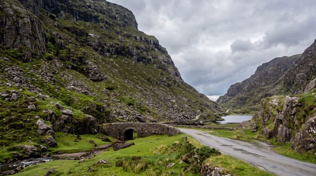
The Hummingbird Highway runs from Belmopan southeast to the coast at Dangriga, and it is comfortably the best road in the country to drive: eighty kilometres of curves between the karst hills of the Maya Mountains on one side and limestone bluffs on the other, through orange and grapefruit groves that supply the country's citrus industry, past villages, roadside fruit stands and the caves and sinkholes of the limestone belt. The highest point on it, the Hummingbird Gap, gives a view over the whole range. It was rebuilt in the 1990s and is now well surfaced, which was not always the case.
What you'll find
- The karst hills - limestone ridges and cones along the whole route.
- The citrus groves - orange and grapefruit filling the valley.
- Roadside stands - fruit, cashews and hot pepper sauce along the way.
- The Hummingbird Gap - the high point with a view over the range.
When to go
December to April is the dry season and clearest. Citrus harvest runs roughly from October to May and the roadside stands are fullest then. Morning light on the hills is the best. Allow half a day with stops.
What to expect
It is a road, and the point is the drive rather than a destination; without a car there is little to it. Rain brings landslips onto the carriageway in places. Trucks from the citrus plants are frequent and slow. Some of the stops along it, including Blue Hole park, have had car break-in problems.
Nearby
Blue Hole national park is on the route; Dangriga is at the eastern end.
Key facts
Source: Wikidata, item Q1637184, read on 18 October 2026.
What to pack for The Hummingbird Highway
Chosen from what this place is for. Tap a kit for the full checklist.
- Broken-in walking shoes or boots - Grip and ankle support matter more than looks; never hike in brand-new boots. Find on Amazon
- Head torch + spare batteries - Hands-free light is essential; caves are truly dark. Find on Amazon
- Layers + a waterproof shell - Mountain weather turns fast; a packable rain jacket saves the day. Find on Amazon
- Grippy closed shoes - Cave floors are wet, muddy and slick with formations. Find on Amazon
Some links on this page are Amazon affiliate links - if you buy through them we may earn a small commission at no extra cost to you.
All packing kitsPlan your trip
Where to start if The Hummingbird Highway is going on the list.
Booking links on this page are affiliate links - if you book through them we may earn a small commission at no extra cost to you. It never changes what we write about a place.
Opening times, ticket prices and seasonal closures change - check the official source before you go: official site.