El Pilar
A large Maya city straddling the Belize-Guatemala border, deliberately left under forest cover rather than cleared and restored.
Updated 18 October 2026
AI illustration
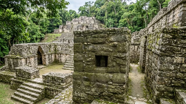
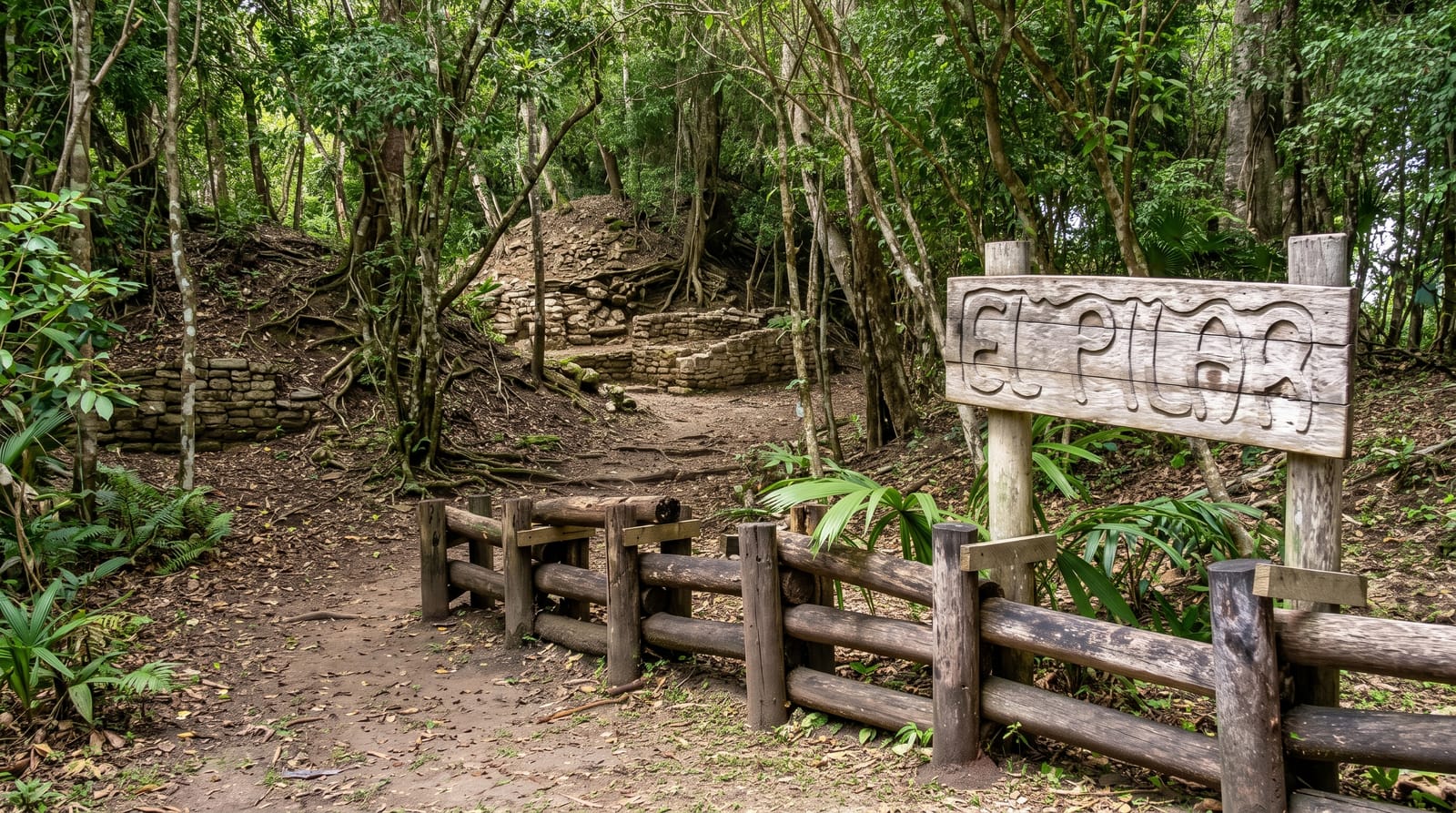
El Pilar covers around fifteen square kilometres across the border, three times the size of Xunantunich, and it has been managed on an unusual principle: rather than stripping the vegetation and consolidating the stone, the archaeologists working here chose to leave the buildings under forest, arguing that the canopy protects the structures and that the site should be understood as a landscape rather than a set of monuments. So you walk trails through jungle past mounds and partly exposed walls, with a few sections opened for illustration. A Maya forest garden demonstrates the agroforestry system that fed the city, planted with the species the Maya used.
History
The city grew from the Middle Preclassic, around 800 BC, when the first small temples and plazas rose in the main eastern temple area, reached its greatest size before AD 1000, and at its height in the Late Classic may have had more than 180,000 people. A major survey and excavation led by Anabel Ford began in 1993, tracing the causeway that joined its eastern and western parts across today's border and tunnelling into a temple with 2,000 years of building, and in 1998 the area was declared a cultural monument in both Belize and Guatemala (Wikipedia, El Pilar).
Highlights
- The forested ruins - structures deliberately left under canopy.
- The Maya forest garden - the agroforestry system that fed the city.
- The cross-border trails - paths running into the Guatemalan half.
- The scale - three times the area of Xunantunich, and largely unexcavated.
When to go
December to April is the dry season and the road passable. Mornings are cooler and better for birds, which are abundant here because of the canopy cover. A guide adds a great deal, since the site is deliberately hard to read.
Before you go
This is not a site for anyone who wants restored pyramids to photograph: almost everything is a forested mound, and without a guide it can read as a walk in the woods. The road in is rough. Facilities are minimal and the site is sometimes unstaffed. Crossing to the Guatemalan section requires care about the border.
Nearby
San Ignacio is 40 minutes south; Xunantunich is nearby.
Key facts
Source: Wikidata, item Q1324484, read on 18 October 2026.
What to pack for El Pilar
Chosen from what this place is for. Tap a kit for the full checklist.
- Strong insect repellent - DEET or picaridin; the jungle is where bites and disease risk are highest. Find on Amazon
- Comfortable walking shoes - Sightseeing means kilometres of pavement and cobbles daily. Find on Amazon
- Modest clothing - Shoulders and knees covered - the single most common requirement. Find on Amazon
- Long, light, quick-dry clothing - Covers skin from insects and sun without cooking you in the humidity. Find on Amazon
Some links on this page are Amazon affiliate links - if you buy through them we may earn a small commission at no extra cost to you.
All packing kitsPlan your trip
Where to start if El Pilar is going on the list.
Booking links on this page are affiliate links - if you book through them we may earn a small commission at no extra cost to you. It never changes what we write about a place.
Opening times, ticket prices and seasonal closures change - check the official source before you go: official site.