Corozal
A quiet bayside town at the Mexican border, founded by refugees from the Yucatán and holding a small Maya site on its edge.
Updated 18 October 2026
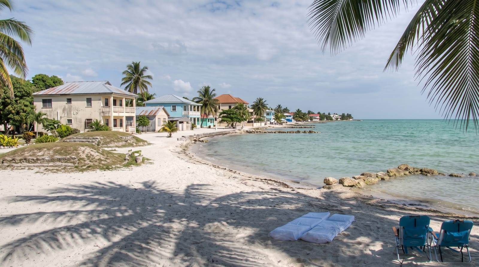
AI illustration
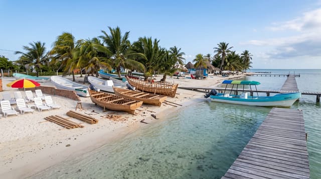
Corozal was founded in 1848 by refugees from the Caste War in the Yucatán and it is still the most Mexican-feeling town in Belize, Spanish-speaking, laid out around a plaza on a bay, and quiet. Hurricane Janet flattened it in 1955, so most of the buildings are post-war, but the town hall holds a large mural by Manuel Villamor tracing the region's history. On the edge of town sits Santa Rita, a small Maya site built over by the modern town, and across the bay at Cerros are the remains of a late Preclassic trading centre with temples now partly eroded by the sea.
History
Much of the town stands over an ancient Maya city, sometimes called Santa Rita and perhaps the town of Chactemal, and Corozal itself was founded in 1848 by refugees from the Caste War of Yucatán; between 1848 and 1856 more than 10,000 refugees crossed the Rio Hondo, raising the town's population to 4,500, and the magistrate James Blake let them settle land in the district, where they introduced sugar cane. The town became a garrison with a fort, Fort Barlee, and Hurricane Janet badly damaged it in 1955, after which it was largely rebuilt (Wikipedia, Corozal Town).
Highlights
- The town hall mural - Villamor's history of the region in one room.
- Santa Rita - a small Maya site on the town's edge.
- Cerros - a Preclassic trading site across the bay, reached by boat.
- The bayfront - a long quiet seafront with almost no development.
When to go
December to April is the dry season. Cerros is reached by boat across the bay or by a rough road that is difficult after rain. Corozal is a stop on the way to or from Mexico rather than a destination.
Good to know
There is not a great deal here and half a day covers it; most travellers pass through to or from Chetumal. Cerros is eroding into the sea and access depends on the water and the road. Santa Rita is small and largely built over. The bay is not swimmable in most spots.
Nearby
The Mexican border is fifteen minutes north; Sarteneja is across the bay.
Key facts
Source: Wikidata, item Q882907, read on 18 October 2026.
What to pack for Corozal
Chosen from what this place is for. Tap a kit for the full checklist.
- Comfortable walking shoes - Sightseeing means kilometres of pavement and cobbles daily. Find on Amazon
- Modest clothing - Shoulders and knees covered - the single most common requirement. Find on Amazon
- A slim anti-theft daypack - Zips that close properly; keep it in front in crowds and on transit. Find on Amazon
- A scarf or shawl - To cover the head or shoulders on entry; women especially at mosques. Find on Amazon
Some links on this page are Amazon affiliate links - if you buy through them we may earn a small commission at no extra cost to you.
All packing kitsPlan your trip
Where to start if Corozal is going on the list.
Booking links on this page are affiliate links - if you book through them we may earn a small commission at no extra cost to you. It never changes what we write about a place.
Opening times, ticket prices and seasonal closures change - check the official source before you go: official site.