Cerros Maya Ruins
A Late Preclassic Maya trading city on the shore of Corozal Bay, with temples looking out over the water.
Updated 18 October 2026
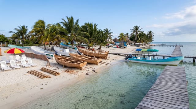
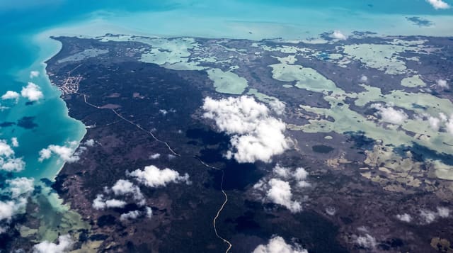
Cerros sits on a low point on the southern shore of Corozal Bay, and it was built where it was for trade: the New River and the Rio Hondo both reach the sea nearby, and the city controlled the routes inland. It rose and fell early, flourishing in the Late Preclassic around the first century BC, when its largest temple was raised with masks flanking the stair. The sea has been eating the site for decades and part of the waterfront structures have gone.
History
Cerros began around 400 BC as a small village of farmers, fishermen and traders. Around 50 BC, as its economy grew and its people experimented with kingship, they buried their own houses to make room for temples and plazas, starting with Structure 5C-2nd, which stands with its back to Chetumal Bay at the north end of the site's sacred axis; the last big building went up around AD 100, and apart from a small later village the site was abandoned by AD 400. Thomas Gann drew attention to its mounds in 1900. In 1973 a Dallas company bought the site to build a resort, and the excavations it funded, led by David Freidel from 1974, showed Cerros to be a Late Preclassic city; when the resort plan fell through, the site was handed to the government of Belize as promised (Wikipedia, Cerros).
Highlights
- The main temple - a Late Preclassic pyramid with the remains of stucco masks.
- The waterfront setting - structures standing directly on Corozal Bay.
- The canal system - a channel cut around the site, visible in the ground.
- The erosion - the sea taking the shoreline structures, visible year to year.
When to go
December to April is the dry season and the practical window; the road is often impassable in the rains and the boat is then the only way. Mornings are coolest. Mosquitoes are heavy in any season.
Before you go
The road in is very poor and frequently impassable, so the boat is the reliable option and costs more. Erosion has destroyed part of the site and continues. Facilities are minimal and mosquitoes are severe.
Nearby
Corozal Town is across the bay, and Sarteneja is east along the coast.
What to pack for Cerros Maya Ruins
Chosen from what this place is for. Tap a kit for the full checklist.
- Comfortable walking shoes - Sightseeing means kilometres of pavement and cobbles daily. Find on Amazon
- Modest clothing - Shoulders and knees covered - the single most common requirement. Find on Amazon
- A slim anti-theft daypack - Zips that close properly; keep it in front in crowds and on transit. Find on Amazon
- A scarf or shawl - To cover the head or shoulders on entry; women especially at mosques. Find on Amazon
Some links on this page are Amazon affiliate links - if you buy through them we may earn a small commission at no extra cost to you.
All packing kitsPlan your trip
Where to start if Cerros Maya Ruins is going on the list.
Booking links on this page are affiliate links - if you book through them we may earn a small commission at no extra cost to you. It never changes what we write about a place.
Opening times, ticket prices and seasonal closures change - check the official source before you go: official site.