Stirling Range National Park
The only range in southern Western Australia high enough for occasional snow, with Bluff Knoll and rare mountain flora.
Updated 18 October 2026
AI illustration
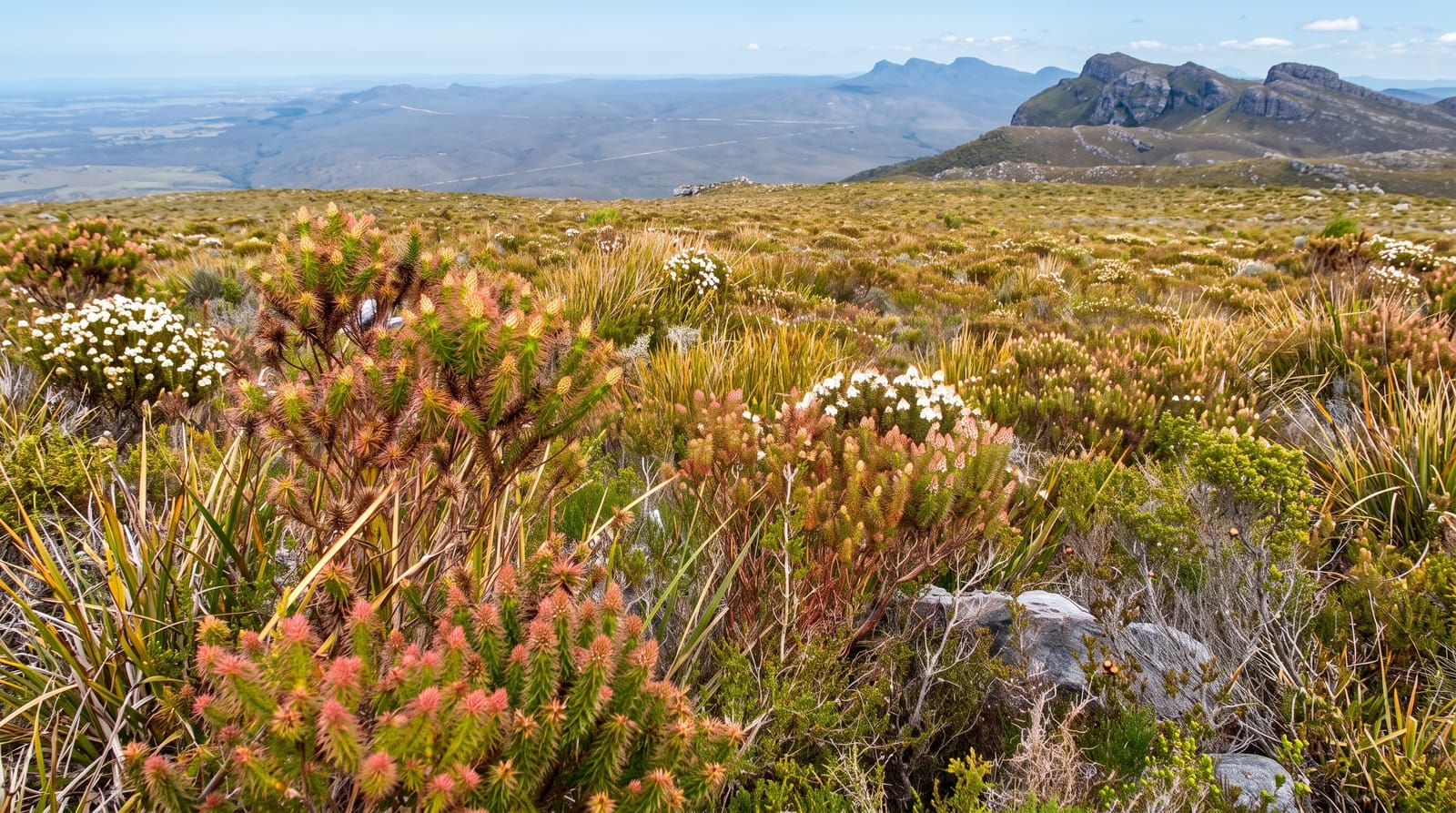
The Stirling Range rises abruptly from flat farmland for around sixty-five kilometres, a line of jagged peaks reaching 1,095 metres at Bluff Knoll, the highest point in the southwest of Western Australia and the only place in the region where snow falls, which it does most years for a few hours and briefly makes national news. The range holds around fifteen hundred plant species, more than eighty found nowhere else, including mountain bells that grow only on particular peaks. Bluff Knoll is climbed on a steep six-kilometre return track. Toolbrunup and Mount Trio are harder scrambles, and the Stirling Range Drive crosses the range on gravel.
History
The Mineng and Koreng groups of the Noongar are the traditional owners, whose people have lived here for tens of thousands of years on the food of the surrounding lowlands. Matthew Flinders sighted the range in January 1802 and called it Mount Rugged, Ensign Dale climbed Toolbrunup in 1832, and in 1835 the surveyor John Septimus Roe named the range after Governor James Stirling, who never went there; sandalwood cutters made a track through it around 1848, John Forrest built a cairn on Toolbrunup in 1881, and the park's boundaries were first proposed in 1908 (Wikipedia, Stirling Range National Park).
The landscape
- Bluff Knoll - the highest peak in the southwest, on a steep return climb.
- The mountain bells - endemic plants growing only on particular peaks.
- The range profile - jagged peaks rising straight from flat farmland.
- The occasional snow - brief falls on the summits most winters.
When to go
August to November for wildflowers and clear walking; the range makes its own weather and cloud can close in fast in any season. Summer is hot on exposed rock. Snow, when it comes, is in July or August and gone within hours.
Before you go
Bluff Knoll is steep, taking three to four hours return, and the summit is often in cloud. Weather changes quickly and people have needed rescue. Dieback controls require boot cleaning at trailheads. Facilities are limited to a campground.
Nearby
The Porongurups lie south; Albany is an hour beyond them.
Key facts
Source: Wikidata, item Q115591, read on 18 October 2026.
What to pack for Stirling Range National Park
Chosen from what this place is for. Tap a kit for the full checklist.
- Broken-in walking shoes or boots - Grip and ankle support matter more than looks; never hike in brand-new boots. Find on Amazon
- Binoculars - The single best wildlife tool - even a compact pair transforms a sighting. Find on Amazon
- Warm base layers - Merino or synthetic against the skin - never cotton, which chills when damp. Find on Amazon
- Layers + a waterproof shell - Mountain weather turns fast; a packable rain jacket saves the day. Find on Amazon
Some links on this page are Amazon affiliate links - if you buy through them we may earn a small commission at no extra cost to you.
All packing kitsPlan your trip
Where to start if Stirling Range National Park is going on the list.
Booking links on this page are affiliate links - if you book through them we may earn a small commission at no extra cost to you. It never changes what we write about a place.
Opening times, ticket prices and seasonal closures change - check the official source before you go: official site.