Seal Rocks
A tiny surf hamlet at the end of a dead-end road, with a headland lighthouse above a coast of shipwrecks.
Updated 18 October 2026
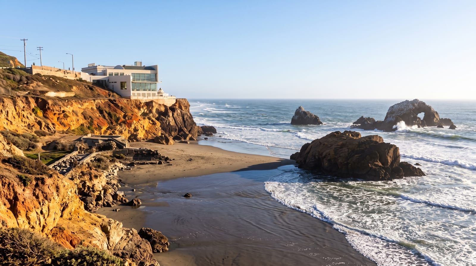
AI illustration
Seal Rocks sits at the end of a road that goes nowhere else, a cluster of houses and a campground between Number One Beach and Boat Beach, with almost no commercial development beyond a small kiosk. Above it, Sugarloaf Point Lighthouse, built in 1875, stands on a headland reached by a short walk, with a stairway that descends toward the rocks and views along the coast. The waters offshore have taken a number of ships, and the rocks the place is named for lie out to sea, used by seals and by divers who come for grey nurse sharks that aggregate at Fish Rock and nearby sites. The hamlet has no shops, fuel or reliable phone coverage.
History
The Worimi people lived here before Europeans, and the coast claimed the Rainbow on 2 June 1864 and the SS Catterthun, bound for China from Sydney, in 1895 with many lives. The Sugarloaf Point light was first lit on 1 December 1875, changed from kerosene to acetylene in 1923, electrified in June 1966 and automated by 1987, and the former Dutch submarine HMAS K9, lost near the lighthouse in 1945, was found in 1999 and declared a heritage site (Wikipedia, Seal Rocks, New South Wales).
The main sights
- Sugarloaf Point Lighthouse - the 1875 tower and headland walkway.
- The beaches - Number One and Boat Beach either side of the point.
- The dive sites - grey nurse shark aggregations offshore.
- The undeveloped hamlet - a handful of houses and no commercial strip.
When to go
September to May for swimming and diving; the water is clearest in autumn. School holidays fill the campground, which books out far ahead. Winter is quiet and often windy.
Good to know
There are no shops, no fuel and limited phone signal; everything must be brought in. The final road section is unsealed. The campground is the main accommodation and competition for sites is intense in summer.
Nearby
Myall Lakes National Park lies south; Forster and Pacific Palms are north.
Key facts
Source: Wikidata, item Q7440536, read on 18 October 2026.
What to pack for Seal Rocks
Chosen from what this place is for. Tap a kit for the full checklist.
- Reef-safe sunscreen - High SPF that will not bleach the coral you are swimming over. Find on Amazon
- Your own mask + snorkel - A well-fitting mask is the single biggest comfort upgrade underwater. Find on Amazon
- Quick-dry clothing - Board shorts or synthetics that shrug off spray and dry fast. Find on Amazon
- Comfortable walking shoes - Sightseeing means kilometres of pavement and cobbles daily. Find on Amazon
Some links on this page are Amazon affiliate links - if you buy through them we may earn a small commission at no extra cost to you.
All packing kitsPlan your trip
Where to start if Seal Rocks is going on the list.
Booking links on this page are affiliate links - if you book through them we may earn a small commission at no extra cost to you. It never changes what we write about a place.
Opening times, ticket prices and seasonal closures change - check the official source before you go: official site.