Gippsland Lakes
Australia's largest inland waterway, four hundred square kilometres of lakes separated from the sea by a long sand barrier.
Updated 18 October 2026
AI illustration
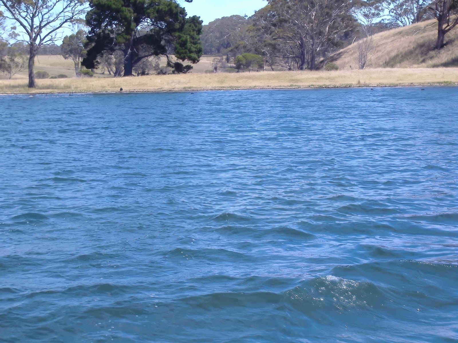
The Gippsland Lakes are a system of three main lakes, Wellington, Victoria and King, plus smaller ones, fed by several rivers and separated from Bass Strait by Ninety Mile Beach, forming the largest inland waterway network in Australia at around four hundred square kilometres. An artificial entrance cut at Lakes Entrance in 1889 opened the system to the sea, changing its salinity permanently and allowing a fishing fleet to work from the town. Boating dominates: hire cruisers, yachts, kayaks and fishing boats work the lakes from Paynesville, Metung and Lakes Entrance. The lakes occasionally show bioluminescence when conditions concentrate certain organisms, an unpredictable phenomenon that draws photographers.
History
The lakes formed as river deltas built up sediment, with silt jetties such as those of the Mitchell River running far into Lake King, while currents in Bass Strait built Ninety Mile Beach and cut the deltas off from the sea; the closed lakes then rose until they broke through the barrier, fell to sea level and closed again, the new channel not always in the same place. In 1889 a wall fixed a natural channel at Lakes Entrance to steady the water level, make a harbour for fishing boats and open the lakes to shipping, and the entrance has to be dredged regularly to stay open (Wikipedia, Gippsland Lakes).
Highlights
- The lake system - four hundred square kilometres of connected waterways.
- The entrance - the artificial cut at Lakes Entrance with its fishing fleet.
- The boating towns - Metung, Paynesville and their marinas.
- The bioluminescence - rare glowing water events, unpredictable and brief.
When to go
November to April for boating and swimming; summer holidays fill accommodation and moorings. Winter is quiet and cold. Bioluminescence cannot be planned for, appearing occasionally and usually after specific rainfall and temperature patterns.
Before you go
Algal blooms occur in warm months and periodically close parts of the lakes to swimming. Boat hire is expensive in season and books out. The lakes are shallow and can be rough in wind despite being enclosed.
Nearby
Ninety Mile Beach runs along the seaward side; Raymond Island lies off Paynesville.
Key facts
Source: Wikidata, item Q1526535, read on 18 October 2026.
What to pack for Gippsland Lakes
Chosen from what this place is for. Tap a kit for the full checklist.
- Broken-in walking shoes or boots - Grip and ankle support matter more than looks; never hike in brand-new boots. Find on Amazon
- Travel rod + reel - A packable multi-piece rod fits in a case and covers most holiday fishing. Find on Amazon
- Reef-safe sunscreen - High SPF that will not bleach the coral you are swimming over. Find on Amazon
- Quick-dry clothing - Board shorts or synthetics that shrug off spray and dry fast. Find on Amazon
Some links on this page are Amazon affiliate links - if you buy through them we may earn a small commission at no extra cost to you.
All packing kitsPlan your trip
Where to start if Gippsland Lakes is going on the list.
Booking links on this page are affiliate links - if you book through them we may earn a small commission at no extra cost to you. It never changes what we write about a place.
Opening times, ticket prices and seasonal closures change - check the official source before you go: official site.


