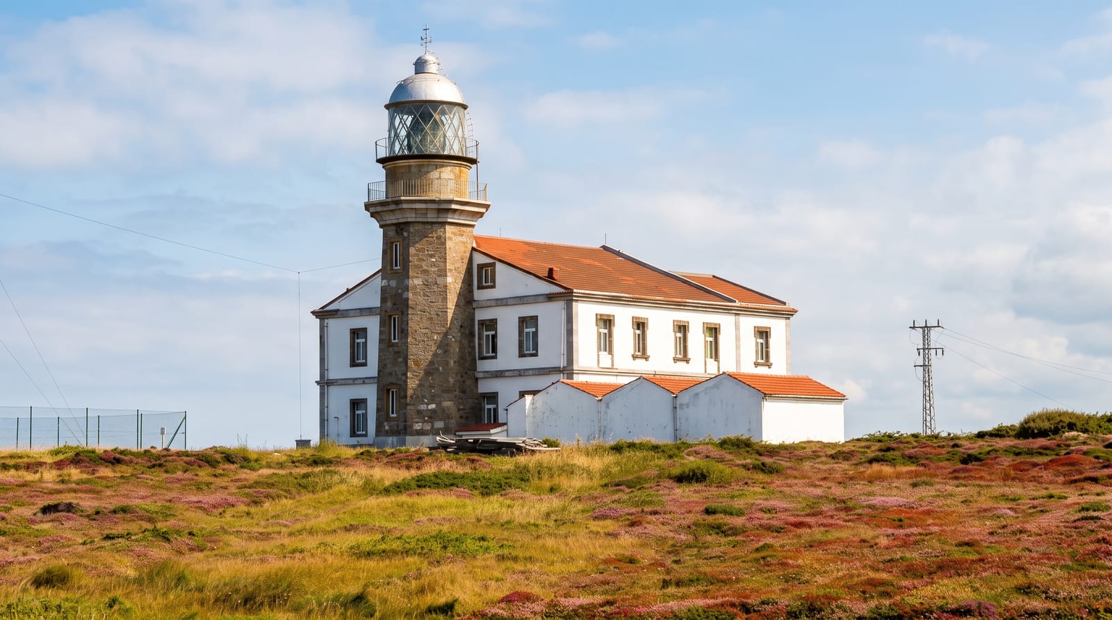
Cape Bridgewater
Basalt cliffs, blowholes and a fossilised forest above a seal colony on Victoria's far southwest coast.
Updated 4 September 2026

AI illustration
Cape Bridgewater has the highest coastal cliffs in Victoria, around one hundred and thirty metres of basalt above the Southern Ocean, and a walking track along the top passes several features in a few kilometres: blowholes where the swell forces water up through cracks, and the Petrified Forest, a field of hollow limestone tubes long interpreted as fossilised tree stumps and now understood to be solution pipes formed by water dissolving through dune limestone. Below the cape, a colony of Australian and New Zealand fur seals lives on the rocks, viewed from a clifftop platform or from boat tours that run in settled weather. A crescent of white sand curves in the bay behind.
The landscape
- The basalt cliffs - Victoria's highest coastal cliffs above the Southern Ocean.
- The blowholes - swell forcing water through the rocks on a big sea.
- The Petrified Forest - limestone tubes once thought to be fossil stumps.
- The seal colony - fur seals on the rocks below the cape.
When to go
October to April for the calmest conditions and boat access; the blowholes work best on a big swell, which often coincides with the worst weather. Winter is cold and the wind severe. Seal numbers are highest in the warmer months.
Good to know
The clifftop is exposed and unfenced in places with lethal drops. Boat tours are frequently cancelled by swell. The Petrified Forest is not petrified wood, despite the name and older signage, and looks modest without that context.
Nearby
Portland lies east; the Great South West Walk passes along this coast.
What to pack for Cape Bridgewater
Chosen from what this place is for. Tap a kit for the full checklist.
- Broken-in walking shoes or boots - Grip and ankle support matter more than looks; never hike in brand-new boots. Find on Amazon
- Reef-safe sunscreen - High SPF that will not bleach the coral you are swimming over. Find on Amazon
- Loose, light, long clothing - Covering up beats bare skin in the desert - and locals dress this way for a reason. Find on Amazon
- Layers + a waterproof shell - Mountain weather turns fast; a packable rain jacket saves the day. Find on Amazon
Some links on this page are Amazon affiliate links - if you buy through them we may earn a small commission at no extra cost to you.
All packing kitsPlan your trip
Where to start if Cape Bridgewater is going on the list.
Booking links on this page are affiliate links - if you book through them we may earn a small commission at no extra cost to you. It never changes what we write about a place.
Opening times, ticket prices and seasonal closures change - check the official source before you go: official site.